Agarak, Lori
Agarak (Armenian: Ագարակ) is a village in the Lori Province of Armenia.
Agarak
Ագարակ | |
|---|---|
 The northern part of Armenia's northern province of Lori as seen from Pushkin Pass. Visible in this picture is the village of Agarak (background, right) | |
 Agarak | |
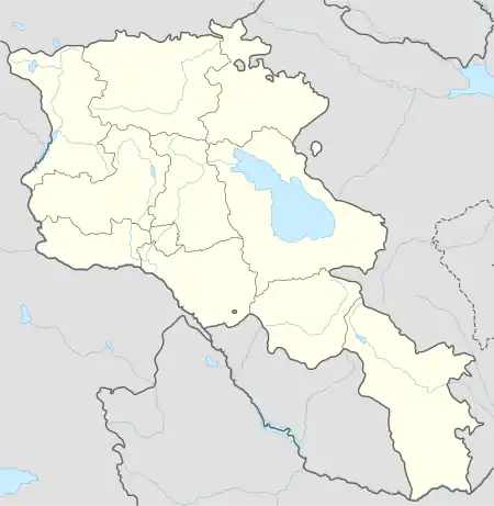
| Coordinates: 41°00′38″N 44°28′03″E | |
| Country | |
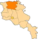
| Province | Lori |
| Area | |
| • Total | 19.31 km2 (7.46 sq mi) |
| Elevation | 1,375 m (4,511 ft) |
| Population | |
| • Total | 1,155 |
| Time zone | UTC+4 (AMT) |
Geography
Agarak lies at the end of the H-33 highway. The area is dominated by agriculture.[2]
Demographics
The village had 1,155 inhabitants in 2011.[1]
Gallery
.jpg.webp)
.jpg.webp)
.jpg.webp)
.jpg.webp)
.jpg.webp)
.jpg.webp)
_sign.jpg.webp)
References
- Statistical Committee of Armenia. "The results of the 2011 Population Census of the Republic of Armenia" (PDF).
- "Municipalities of the Republic of Armenia" (PDF). Archived from the original (PDF) on 2014-09-12. Retrieved 2015-07-29.
External links
Wikimedia Commons has media related to Agarak, Lori.
This article is issued from Wikipedia. The text is licensed under Creative Commons - Attribution - Sharealike. Additional terms may apply for the media files.