Al-Shawka al-Tahta
Al-Shawka al-Tahta was a Palestinian Arab village in the Safad Subdistrict. It was depopulated during the 1947–1948 Civil War in Mandatory Palestine on May 14, 1948, by the Palmach's First Battalion of Operation Yiftach. It was located 31.5 km northeast of Safad.
Al-Shawka al-Tahta
الشوكة التحتا | |
|---|---|
.jpg.webp) 1870s map 1870s map .jpg.webp) 1940s map 1940s map.jpg.webp) modern map modern map .jpg.webp) 1940s with modern overlay map 1940s with modern overlay mapA series of historical maps of the area around Al-Shawka al-Tahta (click the buttons) | |
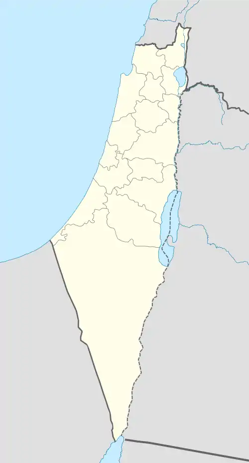
 Al-Shawka al-Tahta Location within Mandatory Palestine | |
| Coordinates: 33°14′19″N 35°38′12″E | |
| Palestine grid | 209/293 |
| Geopolitical entity | Mandatory Palestine |
| Subdistrict | Safad |
| Date of depopulation | May 14, 1948[1] |
| Area | |
| • Total | 2,132 dunams (2.132 km2 or 527 acres) |
| Population (1945) | |
| • Total | 200[2] |
| Cause(s) of depopulation | Fear of being caught up in the fighting |
History
The village contained two khirbas known as Tall al-Qadi and Khirbat al-Day'a.
In 1881 the Survey of Western Palestine identified Khirbet Dufnah, meaning "the ruin of Daphne (oleander)", which they marked on their map in the place where Al-Shawka al-Tahta was to stand later, about 1km NNW of present-day Dafna.[3]
British Mandate era
In the 1931 census of Palestine, during the British Mandate for Palestine, the village had a population of 136, all Muslims, in a total of 31 houses.[4]
In the 1945 statistics it had a population of 200 Muslims[2] with a total land area of 2,132 dunams.[5] Of this, 1,845 dunams were allocated for plantations and irrigable land, 140 for cereals,[6] while 17 dunams were classified as non-cultivable areas.[7]
References
- Morris, 2004, p. xvi, village #3. Also gives cause of depopulation.
- Department of Statistics, 1945, p. 11
- Palmer, 1881, p. 26
- Mills, 1932, p. 111
- Government of Palestine, Department of Statistics. Village Statistics, April, 1945. Quoted in Hadawi, 1970, p. 71 Archived 2011-06-04 at the Wayback Machine
- Government of Palestine, Department of Statistics. Village Statistics, April, 1945. Quoted in Hadawi, 1970, p. 121 Archived 2018-09-26 at the Wayback Machine
- Government of Palestine, Department of Statistics. Village Statistics, April, 1945. Quoted in Hadawi, 1970, p. 171 Archived 2018-09-26 at the Wayback Machine
Bibliography
- Department of Statistics (1945). Village Statistics, April, 1945. Government of Palestine.
- Hadawi, S. (1970). Village Statistics of 1945: A Classification of Land and Area ownership in Palestine. Palestine Liberation Organization Research Center. Archived from the original on 2018-12-08. Retrieved 2009-08-18.
- Khalidi, W. (1992). All That Remains:The Palestinian Villages Occupied and Depopulated by Israel in 1948. Washington D.C.: Institute for Palestine Studies. ISBN 0-88728-224-5.
- Mills, E., ed. (1932). Census of Palestine 1931. Population of Villages, Towns and Administrative Areas. Jerusalem: Government of Palestine.
- Morris, B. (2004). The Birth of the Palestinian Refugee Problem Revisited. Cambridge University Press. ISBN 978-0-521-00967-6.
- Palmer, E.H. (1881). The Survey of Western Palestine: Arabic and English Name Lists Collected During the Survey by Lieutenants Conder and Kitchener, R. E. Transliterated and Explained by E.H. Palmer. Committee of the Palestine Exploration Fund.
External links
- Welcome To al-Shawka al-Tahta
- al-Shawka al-Tahta, Zochrot
- al-Shawka al-Tahta
- Survey of Western Palestine, Map 2: IAA, Wikimedia commons