America, Oklahoma
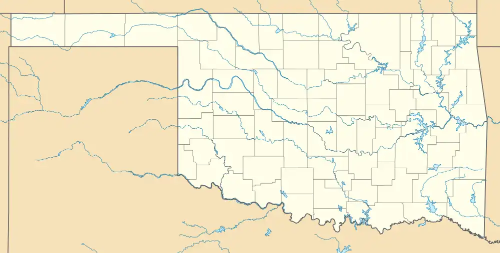
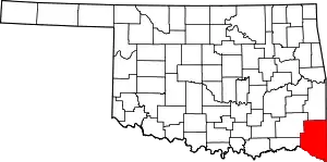
America is a ghost town[1] in southeastern McCurtain County, Oklahoma, United States. It was located 7 miles southeast of Haworth.[2] The town was named after America Stewart, wife of Tom Stewart, a local resident.[2]

History
America grew around a sawmill built by William Spencer and his three brothers in 1907. The Spencer family built 40 houses to lease to sawmill workers,[3] and by 1910 there were 200 people living in America. In 1911, after all the timber had been cut, Spencer opened a cotton gin and general store and became a cotton buyer.[3] Cotton grown on the cleared land was shipped out by the Arkansas and Choctaw Railway (a predecessor of the Frisco)[4] that ran through the town.[3] After cotton production declined in the 1920s, most residents moved out. The cotton gin closed in 1933,[3] around the time when the Great Depression was at its worst. Buck and Blanche Barrow, associates of Bonnie & Clyde were married in America on July 3, 1931. The post office, established since July 24, 1903, was disestablished on February 15, 1944. [2][3] The general store closed the next year, completing the decline.[3]
Today, part of the former townsite of America is in the Ouachita National Forest. Only two old houses and a railroad marker remain.[3]
References
- Etter, Jim (May 1, 1996). Ghost-Town Tales of Oklahoma: Unforgettable Stories of Nearly Forgotten Places. Stillwater, Oklahoma, United States of America: New Forums Press. p. 248. ISBN 978-0-913507-74-2.
- Shirk, George; Wright, Muriel H (1987). Oklahoma Place Names. Norman, Oklahoma: University of Oklahoma Press. p. 288. ISBN 978-0-8061-2028-7.
- Morris, John (1977). Ghost Towns of Oklahoma. Norman, Oklahoma: University of Oklahoma Press. p. 229. ISBN 978-0-8061-1420-0.
- "Railroad Era Resources Of Southwest Arkansas, 1870-1945". Arkansas Historic Preservation Program (a National Park Service “National Register of Historic Places Multiple Property Documentation Form” filing), 1996, p.19. Retrieved July 15, 2020.
