Andle Stone
The Andle Stone is a large gritstone boulder on Stanton Moor in Derbyshire. The stone block is 6m long, 4m high and lies within a low, circular, dry stone wall enclosure. It is covered in cup and ring marks. It is also known as the Oundle Stone, the Anvil Stone or the Twopenny Loaf.[1][2]
| Andle Stone | |
|---|---|
%252C_near_Stanton_Moor%252C_Derbyshire.jpg.webp) Andle Stone - a huge natural boulder | |
| Location | Derbyshire |
| Coordinates | 53.163550°N 1.642045°W |
| OS grid reference | SK241630 |
| Architectural style(s) | British pre-Roman Architecture |
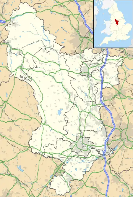
 Location of Andle Stone in Derbyshire | |
There is a memorial inscription on the west-facing concave face of the boulder, commemorating the Duke of Wellington, Lieutenant Colonel William Thornhill (2nd son of Bache Thornhill of Stanton Hall[3]) and the battles of Assaye and Waterloo. The inscription reads:[4]
|
FIELD-MARSHALL
DUKE OF WELLINGTON
DIED 14 SEPT 1852
AGED 82 YEARS |
LIEUT-COLONEL
WILLIAM THORNHILL
7 HUSSARS
DIED 9 DEC 1851
AGED 71 YEARS | |
ASSYE 1803 WATERLOO 1815 | ||

Memorial inscription
The Andle Stone and the nearby Doll Tor stone circle are both on private farmland with no public access rights.[5]
Notes
- Julian Cope (1998). The Modern Antiquarian: A Pre-millennial Odyssey Through Megalithic Britain : Including a Gazetteer to Over 300 Prehistoric Sites. Thorsons Pub. p. 249. ISBN 978-0-7225-3599-8. Retrieved 11 April 2013.
- "MDR3734 - Andle Stone (natural rock), Stanton Moor, Stanton in the Peak". Derbyshire Historic Environment Record. Retrieved 16 March 2023.
- "The Waterloo Roll Call with Biographical Notes and Anecdotes, by Charles Dalton". www.gutenberg.org. Retrieved 16 March 2023.
- "Field Marshal the Duke Of Wellington And Lieutenant Colonel W Thornhill". Imperial War Museums. Retrieved 16 March 2023.
- OL24 White Peak area (Map). 1:25000. Explorer. Ordnance Survey. East sheet.
This article is issued from Wikipedia. The text is licensed under Creative Commons - Attribution - Sharealike. Additional terms may apply for the media files.