Bang Talat, Nonthaburi
Bang Talat (Thai: บางตลาด, pronounced [bāːŋ tā.làːt]) is one of the twelve subdistricts (tambon) of Pak Kret district, in Nonthaburi province, Thailand. Neighbouring subdistricts are (from north clockwise) Pak Kret, Khlong Kluea, Thung Song Hong, Tha Sai and Tha It and Ko Kret. In 2020, it had a total population of 47,147 people.[1]
Bang Talat Subdistrict
ตำบลบางตลาด | |
|---|---|
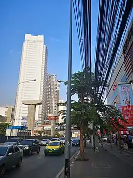 Chaeng Watthana Road forms part of the northern border of the subdistrict. | |
| Country | |
| Province | Nonthaburi |
| District | Pak Kret |
| Population (2020)[1] | |
| • Total | 47,147 |
| Time zone | UTC+7 (ICT) |
| Postal code | 11120 |
| TIS 1099 | 120602 |
Administration
Central administration
The subdistrict is subdivided into 10 villages (muban).[2]
| No. | Name | Thai |
|---|---|---|
| 1. | Ban Pak Dan | บ้านปากด่าน |
| 2. | Ban Dong Tan | บ้านดงตาล |
| 3. | Ban Surao | บ้านสุเหร่า |
| 4. | Ban Khlong Kluea | บ้านคลองเกลือ |
| 5. | Ban Khlong Kluea | บ้านคลองเกลือ |
| 6. | Ban Dong Tan | บ้านดงตาล |
| 7. | Ban Dong Tan | บ้านดงตาล |
| 8. | Ban Khlong Kluea | บ้านคลองเกลือ |
| 9. | Ban Khlong Kluea | บ้านคลองเกลือ |
| 10. | Ban Pracha Chuen | บ้านประชาชื่น |
Local administration
The whole area of the subdistrict is covered by Pak Kret City Municipality (เทศบาลนครปากเกร็ด).
References
- "Population statistics 2020" (in Thai). Department of Provincial Administration. Retrieved 18 December 2021.
- ประกาศกระทรวงมหาดไทย เรื่อง การกําหนดเขตตําบลในท้องที่อําเภอปากเกร็ด จังหวัดนนทบุรี (PDF). Royal Gazette (in Thai). 115 (special 34D): 213–241. 6 May 1998. Archived from the original (PDF) on November 13, 2011.
This article is issued from Wikipedia. The text is licensed under Creative Commons - Attribution - Sharealike. Additional terms may apply for the media files.