Bull Lake, Montana
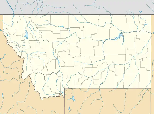
Bull Lake is an unincorporated community and census-designated place (CDP) in Lincoln County, Montana, United States. It is in the southwestern part of the county, surrounding the lake of the same name. Montana Highway 56 runs along the east side of the lake, leading north 18 miles (29 km) to Troy in the Kootenay River valley and south 19 miles (31 km) to Montana Highway 200 in the Clark Fork valley.
Bull Lake, Montana | |
|---|---|
 Bull Lake  Bull Lake | |
| Coordinates: 48°14′50″N 115°50′33″W | |
| Country | United States |
| State | Montana |
| County | Lincoln |
| Area | |
| • Total | 3.10 sq mi (8.02 km2) |
| • Land | 1.81 sq mi (4.69 km2) |
| • Water | 1.28 sq mi (3.33 km2) |
| Elevation | 2,330 ft (710 m) |
| Population (2020) | |
| • Total | 180 |
| • Density | 99.34/sq mi (38.36/km2) |
| Time zone | UTC-7 (Mountain (MST)) |
| • Summer (DST) | UTC-6 (MDT) |
| ZIP Code | 59935 (Troy) |
| Area code | 406 |
| FIPS code | 30-10935 |
| GNIS feature ID | 2806637[2] |
Bull Lake was first listed as a CDP prior to the 2020 census.[2]
References
- "ArcGIS REST Services Directory". United States Census Bureau. Retrieved September 5, 2022.
- U.S. Geological Survey Geographic Names Information System: Bull Lake Census Designated Place
- "Census of Population and Housing". Census.gov. Retrieved June 4, 2016.
Municipalities and communities of Lincoln County, Montana, United States | ||
|---|---|---|
| Cities | 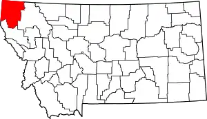 Lincoln County map | |
| Towns | ||
| CDPs | ||
| Other communities | ||
This article is issued from Wikipedia. The text is licensed under Creative Commons - Attribution - Sharealike. Additional terms may apply for the media files.