Camden Hills State Park
Camden Hills State Park is a 5,710-acre (2,310 ha) public recreation area overlooking Penobscot Bay in the town of Camden, Knox County, Maine. The state park features multi-use trails to Mount Battie,[3] Mount Megunticook,[4] and other scenic locales. The park is managed by the Maine Department of Agriculture, Conservation and Forestry.[1]
| Camden Hills State Park | |
|---|---|
 Camden from the summit of Mount Battie | |
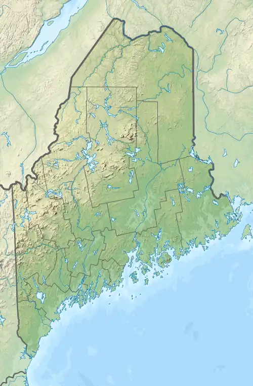
 Location in Maine | |
| Location | Camden, Maine, United States |
| Coordinates | 44.230138°N 69.0473°W[1] |
| Area | 5,710 acres (23.1 km2)[2] |
| Elevation | 259 ft (79 m) |
| Established | 1947 |
| Administrator | Maine Department of Agriculture, Conservation and Forestry |
| Website | Camden Hills State Park |
History
The park was developed during the 1930s by the Civilian Conservation Corps working at the direction of the National Park Service. The Camden Hills CCC camp was in operation from June 1935 to September 1941 creating roads, trails, buildings, and recreational facilities.[5] The land was turned over to the state in 1947.[6] The Mount Battie Auto Road was completed in 1965.[7] The Maine Conservation Corps added a stone staircase for ocean access in 1990.[8]
Activities and amenities
The park is crossed by numerous trails for hiking, horseback riding, mountain biking, cross-country skiing, snowmobiling, and snowshoeing. An auto road can be driven to a parking area near the top of Mount Battie at nearly 800 feet (240 m).[9] The trail up 1,385-foot-high (422 m) Mount Megunticook[10] leads to the tallest peak in the park.[11] The mile-long Maiden Cliff Trail ends at a monument to 12-year-old Elenora French, whose misadventure in 1864 gave the site its name.[12][13] The park also offers opportunities for hunting and camping[1] as well as rock climbing.[14]
References
- "Camden Hills State Park". Department of Agriculture, Conservation and Forestry. Retrieved July 29, 2014.
- "Outdoors in Maine: State Parks, Public Lands, and Historic Sites" (PDF). Department of Agriculture, Conservation and Forestry, Bureau of Parks and Lands. Retrieved December 3, 2015.
- "Mount Battie". Geographic Names Information System. United States Geological Survey, United States Department of the Interior.
- "Mount Megunticook". Geographic Names Information System. United States Geological Survey, United States Department of the Interior.
- "CCC Camps in Maine 1993-1942". Maine State Archives. Department of the Secretary of State. Retrieved July 25, 2017.
- "History" (PDF). Town of Camden. Retrieved July 25, 2017.
- "Brief Camden History". Camden Public Library. Retrieved July 25, 2017.
- "34,000 Hours of Work in 1990 MCC Getting Things Done". A Report on Maine Forests Parks & Lands. Conservation Newsletters. Maine State Library. Winter 1990–91. Retrieved July 25, 2017.
- Berry, Henry N., IV (July 2001). "The Bedrock Geology of Mount Battie, Camden, Maine". Maine Geologic Facts and Localities. Maine Geological Survey. Retrieved July 25, 2017.
{{cite web}}: CS1 maint: multiple names: authors list (link) - Sarnacki, Aislinn (December 1, 2015). "1-Minute Hike: Mount Megunticook, Camden, ME". Bangor Daily News. Act Out with Aislinn. Retrieved December 3, 2015.
- Finan, Kelly. "Camden Hills State Park: Megunticook Trail, Adams Lookout Trail" (PDF). Natural Heritage Hikes. Maine Natural Areas Program. Retrieved December 3, 2015.
- Bavoso, Katharine (July 20, 2016). "Maine Mysteries: The story of the Maiden's Cliff Cross". WLBZ 2. Archived from the original on October 4, 2016. Retrieved July 25, 2017.
- Finan, Kelly. "Camden Hills State Park: Maiden Cliff Trail" (PDF). Natural Heritage Hikes. Maine Natural Areas Program. Retrieved July 25, 2017.
- "Camden Hills Climbing". Mountain Project. Retrieved February 6, 2023.
External links
- Camden Hills State Park Department of Agriculture, Conservation and Forestry
- Camden Hills State Park Map Department of Agriculture, Conservation and Forestry