Lamoine State Park
Lamoine State Park is a public recreation area occupying 55 acres (22 ha) on the shore of Frenchman's Bay in the town of Lamoine, Maine.[1] The state park offers broad views of the mountains on Mount Desert Island, the narrow Eastern Bay portion of Frenchman Bay, and Lamoine's working waterfront.[3] It is managed by the Maine Department of Agriculture, Conservation and Forestry.
| Lamoine State Park | |
|---|---|
 Park view of Mount Desert Island in winter | |
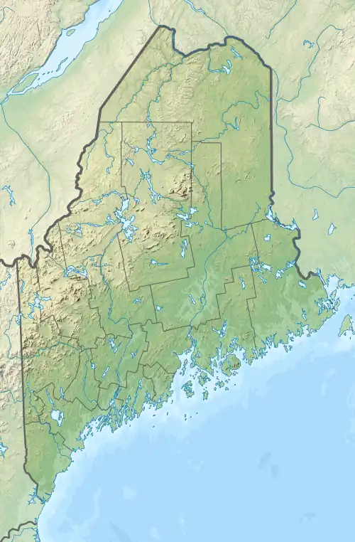
 Location in Maine | |
| Location | Lamoine, Maine, United States |
| Coordinates | 44°27′20″N 68°17′51″W[1] |
| Area | 55 acres (22 ha)[2] |
| Elevation | 62 ft (19 m) |
| Established | 1950s |
| Administrator | Maine Department of Agriculture, Conservation and Forestry |
| Website | Lamoine State Park |
History
In the early years of the 20th century, the waterfront where the park stands was the site of a U.S. Navy coaling station. The facility opened in 1902 and ceased operations by 1912 when changing technology made coal-burning warships and their fueling stations obsolete.[4] The state of Maine took possession of the property in 1949, developing it into a state park during the 1950s.[5]
Activities and amenities
The park offers a seasonal, 62-site campground, fishing, picnicking, kayaking, boat launch, and cross-country skiing.[1]
References
- "Lamoine State Park". Department of Agriculture, Conservation and Forestry. Retrieved August 20, 2014.
- "State Parks, State Historic Sites and Public Reserved Lands" (PDF). Department of Agriculture, Conservation and Forestry. September 2016. Retrieved July 21, 2017.
- "Open Space Report and Inventory" (PDF). Lamoine Conservation Commission. March 2013. Retrieved July 21, 2017.
- "U.S. Naval Coaling Station: 1901 to 1912". Town of Lamoine. Retrieved July 21, 2017.
- "History of Lamoine". Town of Lamoine. Retrieved July 21, 2017.
External links
- Lamoine State Park Department of Agriculture, Conservation and Forestry
- Lamoine State Park Brochure Department of Agriculture, Conservation and Forestry