Cania Dam
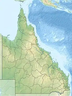
Cania Dam is a dam in central Queensland, Australia, 37 kilometres (23 mi) north west of Monto, in the locality of Cania. The dam is situated on Three Moon Creek, a tributary of the Burnett River. The dam wall is an earth and rock-fill embankment type. It has a surface area of 7.6 square kilometres (1,878 acres), an average depth of 12 metres (39 ft) and a capacity of 88,580 ML. The dam is named after the abandoned gold mining town of Cania, which was inundated by the lake as it filled.[2]
| Cania Dam | |
|---|---|
 Cania Dam | |
| Location | 93 km (58 mi) South West of Gladstone, Queensland |
| Coordinates | 24.6487°S 150.985°E |
| Type | reservoir |
| Primary inflows | Three Moon Creek |
| Primary outflows | Three Moon Creek |
| Catchment area | 280 km2 (110 sq mi) |
| Basin countries | Australia |
| Max. length | 350 m (1,150 ft) |
| Surface area | 760 ha (1,900 acres) |
| Max. depth | 40.1 m (132 ft) |
| Water volume | 88,580 ML (3,128×106 cu ft)[1] |
| Surface elevation | 331 m (1,086 ft) |
| Settlements | Near Monto, Queensland |
| References | [1] |
The dam is stocked with Australian Bass, Golden Perch, Silver Perch, and Saratoga under the Stocked Impoundment Permit Scheme.[3]
The dam was completed in 1982, and after reaching a low of 3.31% in February 2003, it overflowed for the first time in late December 2010. The dam overflowed again in 2012, 2013 (reaching its highest recorded level of 133.32% capacity), 2015, and 2017.[4]
Fishing

A Stocked Impoundment Permit is required to fish in the dam.[5]
References
- Sunwater Current Water Storage Information
- "Cania Dam". Sunwater. Retrieved 20 October 2021.
- NAME, c=AU; o=The State of Queensland; ou=DEPARTMENT NAME; ou=UNIT. "Add your heading". www.daf.qld.gov.au. Retrieved 20 October 2021.
{{cite web}}: CS1 maint: multiple names: authors list (link) - Jack.lawrie, By (1 April 2017). "Cania Dam spill expected to last two to three days". The Courier Mail. Retrieved 20 October 2021.
- Fishing in Queensland dams? You may need a permit. Archived August 29, 2007, at the Wayback Machine