Cavallo, Ohio
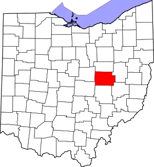
Cavallo is an unincorporated community in Coshocton County, in the U.S. state of Ohio.[1]
History
Cavallo was laid out in 1836 when the Walhonding Canal was extended to that point.[2]
References
- U.S. Geological Survey Geographic Names Information System: Cavallo, Ohio
- "HISTORY OF CAVALLO, OHIO". Walhonding Valley Historical Society. Retrieved December 7, 2015.
This article is issued from Wikipedia. The text is licensed under Creative Commons - Attribution - Sharealike. Additional terms may apply for the media files.
