Centerville, Montana
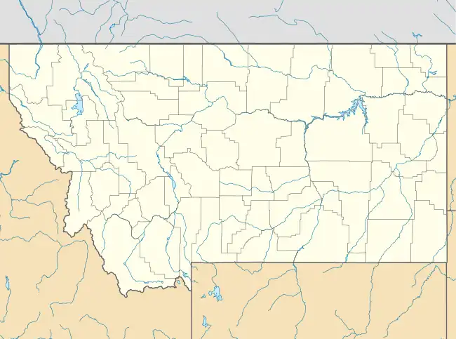
Centerville is a census-designated place (CDP) in Cascade County, Montana, United States. It is in the east-central part of the county, in the valley of Cottonwood Creek where it joins Sand Coulee Creek, a north-flowing tributary of the Missouri River. Centerville lies along Secondary Highway 227, 2.5 miles (4.0 km) north of Stockett and 2 miles (3 km) south of Tracy. It is 14 miles (23 km) southeast of Great Falls via Highway 227 and U.S. Route 87.
Centerville, Montana | |
|---|---|
 Centerville  Centerville | |
| Coordinates: 47°23′18″N 111°8′32″W | |
| Country | United States |
| State | Montana |
| County | Cascade |
| Area | |
| • Total | 0.60 sq mi (1.54 km2) |
| • Land | 0.60 sq mi (1.54 km2) |
| • Water | 0.00 sq mi (0.00 km2) |
| Elevation | 3,474 ft (1,059 m) |
| Population (2020) | |
| • Total | 32 |
| • Density | 53.69/sq mi (20.72/km2) |
| Time zone | UTC-7 (Mountain (MST)) |
| • Summer (DST) | UTC-6 (MDT) |
| ZIP Code | 59480 (Stockett) |
| Area code | 406 |
| FIPS code | 30-13375 |
| GNIS feature ID | 2804690[2] |
History
Centerville was first listed as a CDP prior to the 2020 census.[2]
References
- "ArcGIS REST Services Directory". United States Census Bureau. Retrieved September 5, 2022.
- "Centerville Census Designated Place". Geographic Names Information System. United States Geological Survey, United States Department of the Interior.
- "Census of Population and Housing". Census.gov. Retrieved June 4, 2016.
Municipalities and communities of Cascade County, Montana, United States | ||
|---|---|---|
| City | 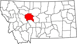 Cascade County map | |
| Towns | ||
| CDPs | ||
| Indian reservation | ||
This article is issued from Wikipedia. The text is licensed under Creative Commons - Attribution - Sharealike. Additional terms may apply for the media files.