Chapicuy
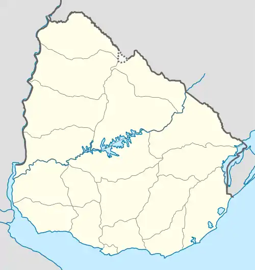
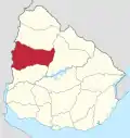
Chapicuy is a village in the Paysandú Department of western Uruguay.
Chapicuy | |
|---|---|
Village | |
 | |
 Chapicuy Location in Uruguay | |
| Coordinates: 31°40′0″S 57°53′0″W | |
| Country | |
| Department | Paysandú Department |
| Population (2011) | |
| • Total | 735 |
| Time zone | UTC -3 |
| Postal code | 60005 |
| Dial plan | +598 4754 (+4 digits) |
Geography
The village is located in northeastern Paysandú, on Route 3 at km 454 near the city of Salto. It is on the shores of the Arroyo Carpinchuri (Carpinchuri stream), a tributary of Arroyo Chapicuy Grande (Big Chapicuy stream).[1]
History
On June 14, 1818, it was the site of a famous battle where the Uruguayan “Banda Oriental” defeated the Portuguese Army in their fight for independence.[2]
Population
According to the 2011 census, Chapicuy had a population of 735.[3]
| Year | Population |
|---|---|
| 1963 | 162 |
| 1975 | 113 |
| 1985 | 196 |
| 1996 | 448 |
| 2004 | 637 |
| 2011 | 735 |
Source: Instituto Nacional de Estadística de Uruguay[4]
Economy
The main sources of income are cattle, agriculture and forestry.
References
- es:Chapicuy
- es:Batalla de Chapicuy
- "Censos 2011 Paysandú (needs flash plugin)". INE. 2012. Retrieved 31 August 2012.
- "1963–1996 Statistics / C". Instituto Nacional de Estadística de Uruguay. 2004. Archived from the original (DOC) on 15 June 2013. Retrieved 29 June 2011.
This article is issued from Wikipedia. The text is licensed under Creative Commons - Attribution - Sharealike. Additional terms may apply for the media files.
