Cookson, Oklahoma
Cookson is a community in the Cookson Hills of Cherokee County, Oklahoma, United States. The post office opened April 11, 1895. The ZIP Code is 74427. It is said to have been named for the first postmaster, John H. Cookson.
Cookson, Oklahoma | |
|---|---|
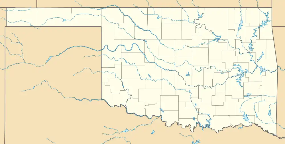 Cookson Location within the state of Oklahoma  Cookson Cookson (the United States) | |
| Coordinates: 35°42′56″N 94°55′11″W | |
| Country | United States |
| State | Oklahoma |
| County | Cherokee |
| Area | |
| • Total | 15.35 sq mi (39.74 km2) |
| • Land | 12.87 sq mi (33.34 km2) |
| • Water | 2.47 sq mi (6.41 km2) |
| Elevation | 853 ft (260 m) |
| Population (2020) | |
| • Total | 826 |
| • Density | 64.17/sq mi (24.78/km2) |
| Time zone | UTC-6 (Central (CST)) |
| • Summer (DST) | UTC-5 (CDT) |
| ZIP codes | 74427 |
| Area code | (918) |
| FIPS code | 40-16950 |
| GNIS feature ID | 2805311[2] |
Notes
- "ArcGIS REST Services Directory". United States Census Bureau. Retrieved September 20, 2022.
- U.S. Geological Survey Geographic Names Information System: Cookson, Oklahoma
- "Census of Population and Housing". Census.gov. Retrieved June 4, 2016.
Sources
- Shirk, George H. Oklahoma Place Names. Norman: University of Oklahoma Press, 1987. ISBN 0-8061-2028-2 .
Municipalities and communities of Cherokee County, Oklahoma, United States | ||
|---|---|---|
| City | 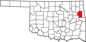 Cherokee County map | |
| Towns | ||
| CDPs | ||
| Other community | ||
| Indian reservation | ||
| Footnotes | ‡This populated place also has portions in an adjacent county or counties | |
This article is issued from Wikipedia. The text is licensed under Creative Commons - Attribution - Sharealike. Additional terms may apply for the media files.