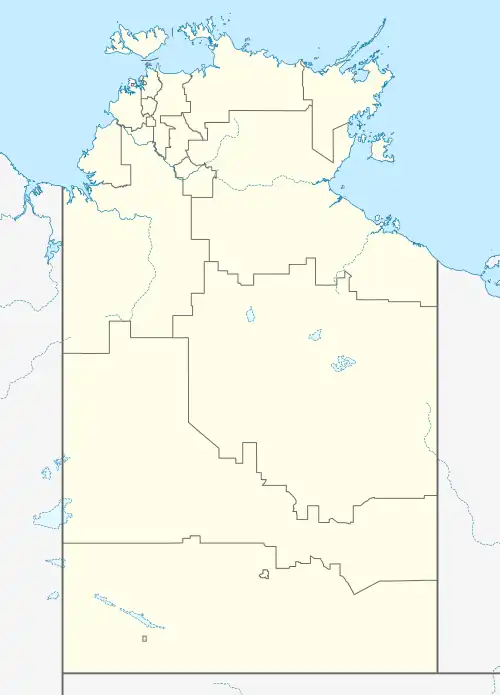
Costello, Northern Territory
Costello is a locality in the Northern Territory of Australia located in the territory's east adjoining the border with the state of Queensland about 1,057 kilometres (657 mi) south-east of the territory capital of Darwin.[1][3]
| Costello Northern Territory | |||||||||||||||
|---|---|---|---|---|---|---|---|---|---|---|---|---|---|---|---|
 Costello | |||||||||||||||
| Coordinates | 20°55′13″S 136°46′52″E[1] | ||||||||||||||
| Population | 12 (2016 census)[2][lower-alpha 1] | ||||||||||||||
| • Density | 0.000306/km2 (0.00079/sq mi) | ||||||||||||||
| Established | 4 April 2007[1] | ||||||||||||||
| Postcode(s) | 0872 [3] | ||||||||||||||
| Area | 39,159 km2 (15,119.4 sq mi)[4] | ||||||||||||||
| Time zone | ACST (UTC+9:30) | ||||||||||||||
| Location | 1,175 km (730 mi) SE of Darwin[3] | ||||||||||||||
| LGA(s) | Barkly Region[1] | ||||||||||||||
| Territory electorate(s) | Barkly[5] | ||||||||||||||
| Federal division(s) | Lingiari[6] | ||||||||||||||
| |||||||||||||||
| |||||||||||||||
| Footnotes | Adjoining localities[8][9] | ||||||||||||||
The locality consists of the following land (from north to south, then west to east):[10][9]
- The Wakaya Aboriginal Lands Trust and land described as NT Portion 4246
- The Arruwurra Aboriginal Corporation, NT Portions 4247, 581, 1094 and 1095, and the Argadargada pastoral lease and,
- The Georgina Downs and Lake Nash pastoral leases
The locality fully surrounds the localities of Alpurrurulam and Canteen Creek.[8] As of 2020, it has an area of 39,159 square kilometres (15,119 sq mi).[4]
The locality's boundaries and name were gazetted on 4 April 2007. Its name is derived from the mountain range which was named in June 1989 as the Costello Range after John Costello, a pastoralist who established the Lake Nash Station in 1890 after moving his cattle from the Valley of the Springs Station which was located on the course of the Limmen Bight River.[1]
Costello includes the following places listed on the Northern Territory Heritage Register – the Eldo Rocket Shelters Annitowa and the Eldo Rocket Shelters Argadargada.[11][12]
The 2016 Australian census which was conducted in August 2016 reports that Costello had a population of 12 people.[2]
Costello is located within the federal division of Lingiari, the territory electoral division of Barkly and the local government area of the Barkly Region.[6][5][1]
References
Notes
- For the 2016 census, the State Suburb of Costello whose boundaries align with those of the locality of Costello, did not include the localities of Canteen Creek and Alpurrurulam.[2]
Citations
- "Place Names Register Extract for Costello". NT Place Names Register. Northern Territory Government. Retrieved 13 March 2020.
- Australian Bureau of Statistics (27 June 2017). "Costello (State Suburb)". 2016 Census QuickStats. Retrieved 13 March 2020.
- "Costello Postcode". postcode-finders.com.au. Retrieved 13 March 2020.
- "Costello". Australia’s Guide Pty Ltd. Retrieved 13 March 2020.
- "Division of Barkly". Northern Territory Electoral Commission. Retrieved 13 March 2020.
- "Federal electoral division of Lingiari". Australian Electoral Commission. Retrieved 13 March 2020.
- "Monthly climate statistics: Summary statistics Jervois (nearest weather station that has current data)". Commonwealth of Australia , Bureau of Meteorology. Retrieved 6 February 2020.
- "Costello". NT Atlas and Spatial Data Directory. Northern Territory Government. Retrieved 14 March 2020.
- "Localities within Barkly South sub-region (CP 5086)". NT Place Names Register. Northern Territory Government. Retrieved 12 March 2020.
- "Northern Territory Pastoral Districts". Northern Territory Government. 2015. Archived from the original on 28 February 2019. Retrieved 8 March 2020.
- "Eldo Rocket Shelters Annitowa". Heritage Register. Northern Territory Government. 19 May 2007. Retrieved 14 March 2020.
- "Eldo Rocket Shelters Argadargada". Heritage Register. Northern Territory Government. 19 May 2007. Retrieved 14 March 2020.