De Maten
De Maten (Dutch pronunciation: [də ˈmaːtən]; Gronings: De Moaten [də ˈmʊːʔn̩]) is a hamlet in the Dutch province of Groningen. It is a part of the municipality of Westerwolde, and lies about 14 km northeast of Emmen.
De Maten | |
|---|---|
 | |
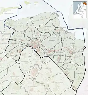 De Maten Location in the province of Groningen in the Netherlands  De Maten De Maten (Netherlands) | |
| Coordinates: 52°52′N 7°4′E | |
| Country | Netherlands |
| Province | Groningen |
| Municipality | Westerwolde |
| Area | |
| • Total | 3.82 km2 (1.47 sq mi) |
| Elevation | 12 m (39 ft) |
| Population (2021)[1] | |
| • Total | 250 |
| • Density | 65/km2 (170/sq mi) |
| Postal code | 9561[1] |
| Dialing code | 0599 |
It was first mentioned between 1851 and 1855 as de Maten, and means "hay land".[3] De Maten is considered part of Ter Apel, but has place name signs. It was home to 317 people in 1840. Most of the hamlet used to be located in the municipality of Emmen. In 1976, it was moved to Ter Apel.[4]
References
- "Kerncijfers wijken en buurten 2021". Central Bureau of Statistics. Retrieved 9 April 2022.
- "Postcodetool for 9561AA". Actueel Hoogtebestand Nederland (in Dutch). Het Waterschapshuis. Retrieved 8 April 2022.
- "Maten - (geografische naam)". Etymologiebank (in Dutch). Retrieved 9 April 2022.
- "De Maten". Plaatsengids (in Dutch). Retrieved 9 April 2022.
External links
 Media related to De Maten (Vlagtwedde) at Wikimedia Commons
This article is issued from Wikipedia. The text is licensed under Creative Commons - Attribution - Sharealike. Additional terms may apply for the media files.