Munnekemoer
Munnekemoer is a hamlet in the Dutch province of Groningen. It is a part of the municipality of Westerwolde, and lies about 14 km northeast of Emmen.
Munnekemoer | |
|---|---|
 Munnekemoer bij de 8e verlaat | |
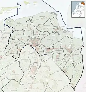 Munnekemoer Location in the province of Groningen in the Netherlands | |
| Coordinates: 52°50′38″N 7°4′57″E | |
| Country | Netherlands |
| Province | Groningen |
| Municipality | Westerwolde |
| Area | |
| • Total | 1.49 km2 (0.58 sq mi) |
| Elevation | 0.4 m (1.3 ft) |
| Population (2021)[1] | |
| • Total | 180 |
| • Density | 120/km2 (310/sq mi) |
| Postal code | 9561[1] |
| Dialing code | 0599 |
The hamlet was first mentioned in 1781 as 't Munneke Moer, and means "moorland of the monks" which is a reference to the nearby Ter Apel Monastery.[3] The postal authorities have placed it under Ter Apel.[4] Munnekemoer has place name signs.[5]
References
- "Kerncijfers wijken en buurten 2021". Central Bureau of Statistics. Retrieved 9 April 2022.
- "Postcodetool for 9561AA". Actueel Hoogtebestand Nederland (in Dutch). Het Waterschapshuis. Retrieved 8 April 2022.
- "Munnekemoer - (geografische naam)". Etymologiebank (in Dutch). Retrieved 9 April 2022.
- "Postcode 9561 in Ter Apel". Postcode bij adres (in Dutch). Retrieved 9 April 2022.
- "Munnekemoer". Plaatsengids (in Dutch). Retrieved 9 April 2022.
Wikimedia Commons has media related to Munnekemoer.
This article is issued from Wikipedia. The text is licensed under Creative Commons - Attribution - Sharealike. Additional terms may apply for the media files.