Deer Island, Oregon
Deer Island is an unincorporated community and census-designated place in Columbia County, Oregon, United States. As of the 2010 census it had a population of 294.[4]
Deer Island, Oregon | |
|---|---|
 Former Deer Island School | |
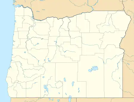 Deer Island  Deer Island | |
| Coordinates: 45°55′52″N 122°50′37″W | |
| Country | United States |
| State | Oregon |
| County | Columbia |
| Area | |
| • Total | 0.49 sq mi (1.26 km2) |
| • Land | 0.49 sq mi (1.26 km2) |
| • Water | 0.00 sq mi (0.00 km2) |
| Elevation | 56 ft (17 m) |
| Population | |
| • Total | 323 |
| • Density | 661.89/sq mi (255.52/km2) |
| Time zone | UTC-8 (Pacific (PST)) |
| • Summer (DST) | UTC-7 (PDT) |
| Area code(s) | 503 & 971 |
| GNIS feature ID | 1136211[3] |
The community is located along U.S. Route 30 north-northwest of Columbia City. Deer Island has a post office with ZIP code 97054.[5]
Demographics
| Census | Pop. | Note | %± |
|---|---|---|---|
| 2010 | 294 | — | |
| 2020 | 323 | 9.9% | |
| U.S. Decennial Census[6][2] | |||
As of the 2020 census, there were 323 people, 143 housing units, and 93 families in the CDP. In Deer Island there were, 282 White people, 0 African Americans, 10 Native Americans, 2 Asians, 0 Pacific Islanders, 6 people that were from some other race, and 23 from two or more races. 30 people were from Hispanic or Latino origin.[7]
The ancestry of Deer Island is 21.8% German, 13.8% Irish, 11.5% French, 2.9% Italian, and 2.9% Norwegian.[7]
The median age in Deer Island was 52.4 years old. 29.3% of the population were over 65, with 22.4% from 65 to 74, and 6.9% from 75 to 84. 0.0% of the population were foreign born.[7]
The median household income was $23,750, with families having $37,500, and non-families having $18,750. 5.2% of the population were in poverty, and 9.9% of people 18 to 64 were in poverty.[7]
References
- "ArcGIS REST Services Directory". United States Census Bureau. Retrieved October 12, 2022.
- "Census Population API". United States Census Bureau. Retrieved October 12, 2022.
- "US Board on Geographic Names". United States Geological Survey. October 25, 2007. Retrieved January 31, 2008.
- "Geographic Identifiers: 2010 Demographic Profile Data (G001): Deer Island CDP, Oregon". U.S. Census Bureau, American Factfinder. Archived from the original on February 12, 2020. Retrieved April 16, 2013.
- ZIP Code Lookup
- "Census of Population and Housing". Census.gov. Retrieved June 4, 2016.
- "Explore Census Data". data.census.gov. Retrieved May 16, 2023.
Municipalities and communities of Columbia County, Oregon, United States | ||
|---|---|---|
| Cities | 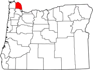 Columbia County map | |
| CDPs | ||
| Other unincorporated communities | ||