Devarkulam
Devarkulam or Thevarkulam, A (Tamil : தேவர்குளம்) is a Village in Manur taluk, Tirunelveli district, Tamil Nadu State, India.[1] It is situated along State highway 41 (SH-41) between Tirunelveli and Sankarankovil on the Road. This Village is located 38 Kilometre North Side of Tirunelveli, and South side of Sankarankovil located 27 Kilometre.
Devarkulam
தேவர்குளம் | |
|---|---|
Village | |
| Nickname(s): Thevarkulam, A | |
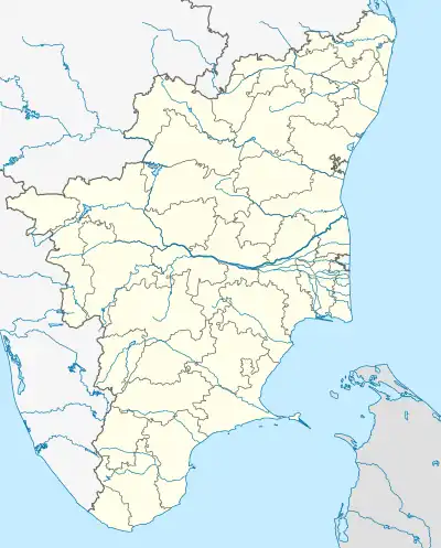 Devarkulam Location in Tamil Nadu, India  Devarkulam Devarkulam (India) | |
| Coordinates: 8.965216°N 77.635624°E | |
| Country | |
| State | Tamil Nadu |
| District | Tirunelveli |
| Talukas | Manur |
| Area | |
| • Total | 106.87 km2 (41.26 sq mi) |
| Elevation | 154 m (505 ft) |
| Population (2011) | |
| • Total | 4,940 |
| • Density | 46/km2 (120/sq mi) |
| Languages | |
| • Official | Tamil |
| Time zone | UTC+5:30 (IST) |
| PIN | 627951 |
| Telephone code | 04636xxx |
| Vehicle registration | TN72, TN76 |
| Largest city | Tirunelveli |
| Nearest city | Sankarankovil Mela Ilandaikulam |
| Literacy | 69.80% |
| Lok Sabha constituency | Tenkasi |
| Vidhan Sabha constituency | Sankarankoil |
| Parliament MP | Dhanush M. Kumar |
| Assembly MLA | E. Raja |
Demographics
According to the 2011 census, the village of Devarkulam had a Population of 4,940 with 2,412 males and 2,528 females. The village had a literacy rate of 69.80%. Child population in the age group below 6 was 239 Males and 237 Females.[2]
References
- "Thevarkulam Village in Manur Taluka, Tirunelveli District" (PDF). Tamil Nadu government. 11 October 2018. Archived from the original on 11 June 2008. Retrieved 2 February 2023.
- "Devarkulam Village Population Totals - Tamil Nadu-Census 2011" (PDF). Census of Tamil Nadu. Archived from the original on 17 June 2013. Retrieved 4 July 2013.
This article is issued from Wikipedia. The text is licensed under Creative Commons - Attribution - Sharealike. Additional terms may apply for the media files.