Ernston, New Jersey
Ernston is a neighborhood in Sayreville in Middlesex County, in the U.S. state of New Jersey.[2][3] It was a stop on the Camden and Amboy Railroad.[4][5] In 1876, when the newly-formed Township of Sayreville was created from approximately 14 square miles (36 km2) of South Amboy's surroundings, Ernston was consolidated with Morgan, Melrose, and Sayre's Village under one municipal government.[6]
Ernston, New Jersey | |
|---|---|
 Ernston, New Jersey Ernston, Sayreville, Middlesex County, New Jersey | |
| Coordinates: 40°27′22″N 74°18′38″W | |
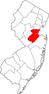
| Country | |
| State | |
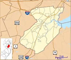
| County | Middlesex |
| Borough | Sayreville |
| Elevation | 135 ft (41 m) |
| GNIS feature ID | 876210[1] |
References
- "Ernston". Geographic Names Information System. United States Geological Survey, United States Department of the Interior.
- "NJDOT Graphic Information System Maps Middlesex" (PDF). New Jersey Department of Transportation. Retrieved March 2, 2020.
- Locality Search, State of New Jersey. Accessed February 8, 2015.
- Gannett, Henry (January 28, 1895). "A Geographic Dictionary of New Jersey". U.S. Government Printing Office – via Google Books.
- Haydon, Tom (August 1, 2010). "Historic railroad to be preserved as Sayreville widens nearby intersection". nj.com. Retrieved March 27, 2020.
- "A Timeline of Sayreville History". Sayreville Historical Society. Retrieved March 27, 2020.
This article is issued from Wikipedia. The text is licensed under Creative Commons - Attribution - Sharealike. Additional terms may apply for the media files.