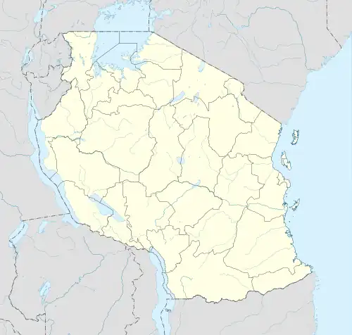
Esilalei
Esilalei is an administrative ward in the Monduli district of the Arusha Region of Tanzania. The ward is composed of three villages, namely Esilalei, Losirwa and Oltukai. The ward covers an area of 496 square kilometres (192 sq mi) at an average altitude of 986 metres (3,235 ft).[1][2]
Esilalei
Kata ya Esilalei | |
|---|---|
 Esilalei Location of Esilalei Ward | |
| Coordinates: 3.48672°S 35.9342°E | |
| Country | |
| Region | Arusha Region |
| District | Monduli District |
| Established | 1984 |
| Government | |
| • Type | Council |
| • Chairman of Council | Murshid Hashim Ngeze |
| Area | |
| • Total | 496 km2 (192 sq mi) |
| Elevation | 986 m (3,235 ft) |
| Population (2012) | |
| • Total | 15,793 |
| • Density | 32/km2 (82/sq mi) |
| Time zone | EAT |
| Area code | 027 |
| Website | District Website |
Esilalei has experienced an exceptionally high population growth from 7,824 in 2002 to 15,793 in 2012. Such growth implies the population has more than doubled in just 10 years. Among the principal factors that have contributed to this increase –one of the fastest in the district– is the falling mortality rate.[3][4]
In addition, most of the residents are Maasai whose semi-nomadic lifestyle typically perpetuates the desire to have many children and large families. Other factors include decreasing infant mortality rate due to relatively improved health care, early marriage, early motherhood, and insufficient education leading to extremely low use of family planning methods.
The current Esilalei ward councilor is Mr. Lemia Murani (2020–Present).
Every Sunday there's a market day at Oltukai village. However, the villages of Esilalei and Losirwa both conduct their market day every Thursday. In these markets the villagers are able to purchase all their necessities, including clothing, food, and livestock.
References
- "Esilalei Rural Ward in Northern Tanzania". City Population. City Population. Retrieved 3 July 2022.
- Arnett, Daniel. "Topographic Map of Esilalei, Monduli, Tanzania". Elevation Map. Retrieved 4 July 2022.
- 2012 Population and Housing Census - Population Distribution by Administrative Areas (PDF) (Report). Dar es Salaam, Tanzania: National Bureau of Statistics. 1 March 2013. Archived (PDF) from the original on 26 March 2022. Retrieved 3 July 2022.
- 2002 Population and Housing Census General Report (Report). Dar es Salaam, Tanzania: National Bureau of Statistics. 1 August 2002. Archived from the original on 17 June 2006. Retrieved 19 August 2008.