Selela
Selela is an administrative ward in the Monduli District of the Arusha Region of Tanzania. The name Selela means Clean water in the Maasai language.
Selela
Kata ya Selela | |
|---|---|
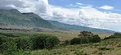 View at Selela in the Rift Valley | |
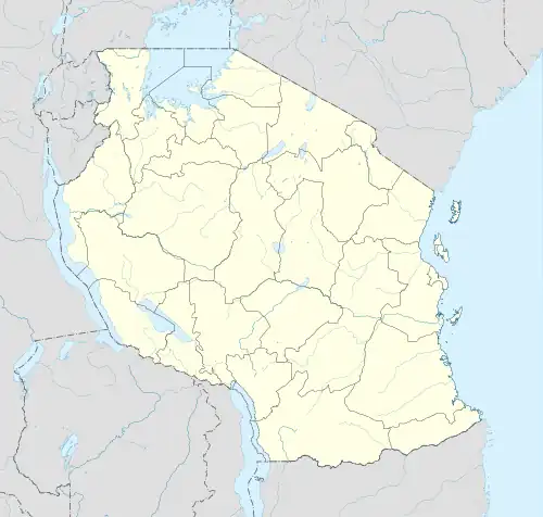 Selela Location of Selela | |
| Coordinates: 3.205°S 35.944°E | |
| Country | |
| Region | Arusha Region |
| District | Monduli District |
| Ward | Selela |
| Population (2016)[1] | |
| • Total | 9,712 |
| Time zone | UTC+3 (EAT) |
In 2016 the Tanzania National Bureau of Statistics report there were 9,712 people in the ward, from 8,703 in 2012.[2][1]
Education
In Selela there are a number of schools:
- Selela Primary School is the largest and counts almost 1,200 children. .
- In the subvillage of Mbaash (which means 'between the mountains in Maasai language), about 16 km from Selela, there's also primary school which counts more than 500 children. The head teacher is Mr. Paakwai Meitamei.
- A third primary school is about 7 km from Selela village and is called Ndinyika Primary School, with more than children. Ndinyika means 'far from the boma' in Maasai language. .
- Oltinga Secondary School is built on the escarpment and overviews Selela village. This school has almost 400 students from the region around Selela. Head teacher is Mr. Kitally.
Health
Selela has a dispensary and since 2016 a new dispensary at Mbaash has opened . Selela and Mbaash are supported by Tanzania Support Foundation. This organization especially helped the Selela schools with several supplies (for example school desks, computers, books, exercise books, storage cupboards, construction materials for classrooms and teachers houses et cetera) and the medical dispensary (for example several medical supplies, wheelchairs, walkers and a solar installation).
Economy
Every Wednesday there's a market day at Selela village. In the village there are some guesthouses and small shops.
References
- 2016 Makadirio ya Idadi ya Watu katika Majimbo ya Uchaguzi kwa Mwaka 2016, Tanzania Bara [Population Estimates in Administrative Areas for the Year 2016, Mainland Tanzania] (PDF) (Report) (in Swahili). Dar es Salaam, Tanzania: National Bureau of Statistics. 1 April 2016. Archived (PDF) from the original on 27 December 2021. Retrieved 3 July 2022.
- 2012 Population and Housing Census - Population Distribution by Administrative Areas (PDF) (Report). Dar es Salaam, Tanzania: National Bureau of Statistics. 1 March 2013. Archived (PDF) from the original on 26 March 2022. Retrieved 3 July 2022.