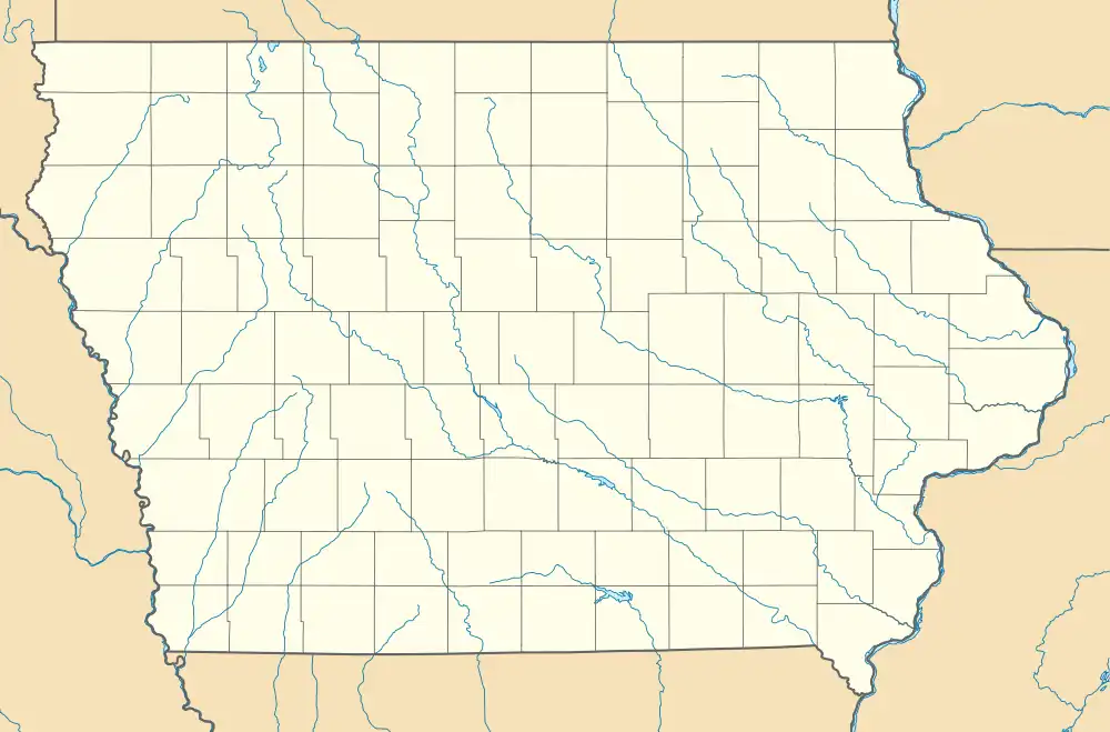
Finchford, Iowa
Finchford is an unincorporated community in Union Township, Black Hawk County, Iowa, United States. The community is at the intersection of county highways C55 and T71, 4.5 miles (7.2 km) west-southwest of Janesville.[2]
Finchford, Iowa | |
|---|---|
 Finchford, Iowa | |
| Coordinates: 42°37′38″N 92°32′38″W | |
| Country | United States |
| State | Iowa |
| County | Black Hawk |
| Elevation | 886 ft (270 m) |
| Time zone | UTC-6 (Central (CST)) |
| • Summer (DST) | UTC-5 (CDT) |
| Area code | 319 |
| GNIS feature ID | 456590[1] |
References
- "Finchford". Geographic Names Information System. United States Geological Survey, United States Department of the Interior.
- Highway and Transportation Map: Black Hawk County, Iowa (PDF) (Map). Iowa Department of Transportation. January 1, 2019. Retrieved February 27, 2020.
- Cram, George Franklin (1887). Cram's Universal Atlas: Geographical, Astronomical and Historical, Containing a Complete Series of Maps of Modern Geography, Illustrated by Numerous Views and Charts ; the Whole Supplemented with Valuable Statistics, Diagrams, and a Complete Gazetteer of the United States. G.F. Cram. pp. 367–369.
- Cram's Modern Atlas: The New Unrivaled New Census Edition. J. R. Gray & Company. 1902. pp. 203–207.
This article is issued from Wikipedia. The text is licensed under Creative Commons - Attribution - Sharealike. Additional terms may apply for the media files.