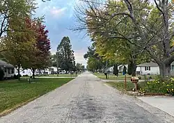
Washburn, Iowa
Washburn is an unincorporated town and census-designated place (CDP) in Black Hawk County, Iowa, United States. Washburn lies south of Waterloo on U.S. Route 218. Other towns near Washburn are Gilbertville and La Porte City. The community is part of the Waterloo–Cedar Falls Metropolitan Statistical Area.
Washburn, Iowa | |
|---|---|
 | |
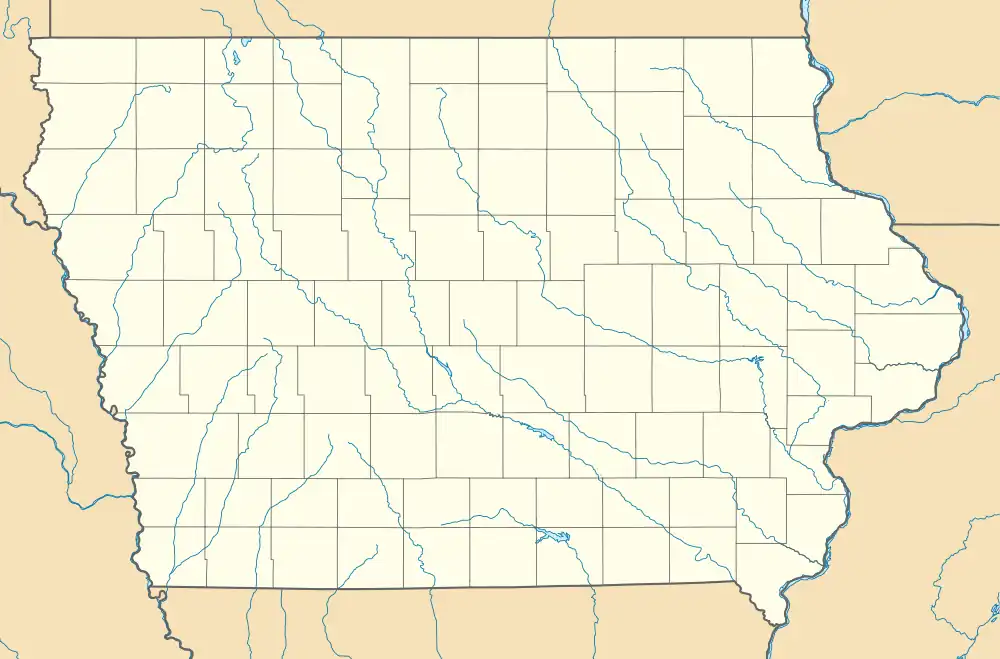 Washburn Location within the state of Iowa | |
| Coordinates: 42°24′42″N 92°16′03″W | |
| Country | United States |
| State | Iowa |
| County | Black Hawk |
| Area | |
| • Total | 1.25 sq mi (3.23 km2) |
| • Land | 1.24 sq mi (3.20 km2) |
| • Water | 0.01 sq mi (0.03 km2) |
| Population (2020) | |
| • Total | 870 |
| • Density | 703.88/sq mi (271.71/km2) |
| Time zone | UTC-6 (Central (CST)) |
| • Summer (DST) | UTC-5 (CDT) |
| FIPS code | 19-82290 |
| GNIS feature ID | 0462685 |
History
Washburn was platted in 1880.[3] Washburn's population was 79 in 1902,[4] and 94 in 1925.[5]
The 2010 census recorded a population of 876 for the Washburn CDP.[6]
Education
Washburn is in the Waterloo Community School District.[7][8] It is currently serviced by Orange Elementary, Hoover Middle, and Waterloo West High.[9]
References
- "2020 U.S. Gazetteer Files". United States Census Bureau. Retrieved March 16, 2022.
- "Census of Population and Housing". Census.gov. Retrieved June 4, 2016.
- Hartman, John C. (1915). History of Black Hawk County, Iowa, and Its People, Volume 1. S. J. Clarke Publishing Company. p. 307. ISBN 9785878945356.
- Cram's Modern Atlas: The New Unrivaled New Census Edition. J. R. Gray & Company. 1902. pp. 203–207.
- Company, Rand McNally and (1925). Premier Atlas of the World: Containing Maps of All Countries of the World, with the Most Recent Boundary Decisions, and Maps of All the States, Territories, and Possessions of the United States with Population Figures from the Latest Official Census Reports, Also Data of Interest Concerning International and Domestic Political Questions. Rand McNally & Company. p. 190.
- "Data from the 2010 Census". State Data Center of Iowa. Retrieved March 20, 2011.
- "2010 CENSUS - CENSUS BLOCK MAP: Washburn CDP, IA" (PDF). 2010 U.S. Census. U.S. Census Bureau. Retrieved April 7, 2020.
- "Waterloo" (PDF). Iowa Department of Education. Retrieved April 7, 2020.
- "Waterloo Community School District - Locate My School". Locate My School. Retrieved September 17, 2020.
Wikimedia Commons has media related to Washburn, Iowa.
Municipalities and communities of Black Hawk County, Iowa, United States | ||
|---|---|---|
| Cities | Map of Iowa highlighting Black Hawk County | |
| Townships | ||
| CDP | ||
| Other unincorporated communities | ||
| Footnotes | ‡This populated place also has portions in an adjacent county or counties | |
This article is issued from Wikipedia. The text is licensed under Creative Commons - Attribution - Sharealike. Additional terms may apply for the media files.