Frankenfels
Frankenfels is a market town with 1956 inhabitants (2019) in St. Pölten-Land which is a district of the state of Lower Austria, Austria.
Frankenfels | |
|---|---|
Village | |
_Town_hall_in_Frankenfels.jpg.webp) Town hall in Frankenfels | |
 Coat of arms | |
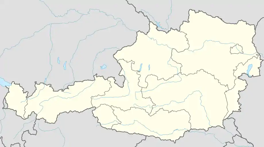 Frankenfels Location within Austria | |
| Coordinates: 47°58′N 15°19′E | |
| Country | Austria |
| State | Lower Austria |
| District | Sankt Pölten-Land |
| Government | |
| • Mayor | Herbert Winter (ÖVP) |
| Area | |
| • Total | 56.14 km2 (21.68 sq mi) |
| Elevation | 464 m (1,522 ft) |
| Population (2018-01-01)[2] | |
| • Total | 1,975 |
| • Density | 35/km2 (91/sq mi) |
| Time zone | UTC+1 (CET) |
| • Summer (DST) | UTC+2 (CEST) |
| Postal code | 3213 |
| Area code | 02725 |
| Website | http://www.frankenfels.at |
Population
| Year | Pop. | ±% |
|---|---|---|
| 1971 | 1,989 | — |
| 1981 | 2,026 | +1.9% |
| 1991 | 2,118 | +4.5% |
| 2001 | 2,187 | +3.3% |
| 2015 | 2,025 | −7.4% |
| 2017 | 1,989 | −1.8% |
| 2019 | 1,956 | −1.7% |
Sights
References
- "Dauersiedlungsraum der Gemeinden Politischen Bezirke und Bundesländer - Gebietsstand 1.1.2018". Statistics Austria. Retrieved 10 March 2019.
- "Einwohnerzahl 1.1.2018 nach Gemeinden mit Status, Gebietsstand 1.1.2018". Statistics Austria. Retrieved 9 March 2019.
This article is issued from Wikipedia. The text is licensed under Creative Commons - Attribution - Sharealike. Additional terms may apply for the media files.