Pyhra
Pyhra (German pronunciation: [ˈpyːʁa] ⓘ) is a town with 3286 inhabitants in the district of Sankt Pölten-Land in Lower Austria, Austria.
Pyhra | |
|---|---|
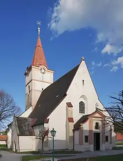 Pyhra parish church | |
 Coat of arms | |
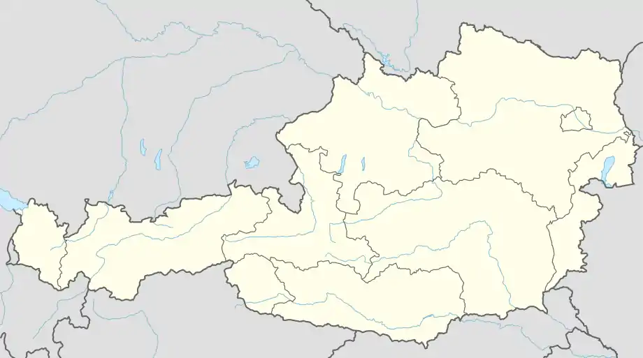 Pyhra Location within Austria | |
| Coordinates: 48°9′N 15°41′E | |
| Country | Austria |
| State | Lower Austria |
| District | Sankt Pölten-Land |
| Government | |
| • Mayor | Günter Schaubach |
| Area | |
| • Total | 66.77 km2 (25.78 sq mi) |
| Elevation | 298 m (978 ft) |
| Population (2018-01-01)[2] | |
| • Total | 3,553 |
| • Density | 53/km2 (140/sq mi) |
| Time zone | UTC+1 (CET) |
| • Summer (DST) | UTC+2 (CEST) |
| Postal code | 3143 |
| Area code | 02745 |
| Website | http://www.pyhra.gv.at |
Geography
Pyhra is located in the hill country of the Mostviertel in Lower Austria, near the city St. Pölten. The biggest mountain is the Amerlingkogel (628 m).
The area is 66.73 square kilometers big. 40.04 per cent of the area is wooded.
Districts
Districts are Adeldorf, Aigen, Atzling, Auern, Baumgarten, Blindorf, Brunn, Ebersreith, Egelsee, Fahra, Gattring-Raking, Getzersdorf, Heuberg, Hinterholz, Hummelberg bei Hinterholz, Kirchweg, Nützling, Oberburbach, Obergrub, Oberloitzenberg, Obertiefenbach, Perersdorf, Perschenegg, Pyhra, Reichenhag, Reichgrüben, Schauching, Schnabling, Steinbach, Unterburbach, Unterloitzenberg, Wald, Weinzettl, Wieden, Windhag, Zell and Zuleithen.
Neighbour municipalities
Pyhra borders Böheimkirchen in the northeast, Kasten by Böheimkirchen and Michelbach in the east, St. Veit on the Gölsen in the south, Wilhelmsburg in the southwest, and St. Pölten in the west and northwest.
Schools
NÖ Landeskindergarten, Volksschule Pyhra, Europa-Hauptschule Pyhra, Landwirtschaftliche Fachschule Pyhra and the music school of the Perschlingtal.
References
- "Dauersiedlungsraum der Gemeinden Politischen Bezirke und Bundesländer - Gebietsstand 1.1.2018". Statistics Austria. Retrieved 10 March 2019.
- "Einwohnerzahl 1.1.2018 nach Gemeinden mit Status, Gebietsstand 1.1.2018". Statistics Austria. Retrieved 9 March 2019.