Gironville
Gironville (French pronunciation: [ʒiʁɔ̃vil] ⓘ) is a commune in the Seine-et-Marne département in the Île-de-France region in north-central France.
Gironville | |
|---|---|
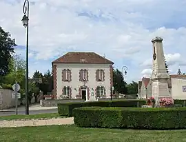 The town hall in Gironville | |
.svg.png.webp) Coat of arms | |
Location of Gironville | |
 Gironville 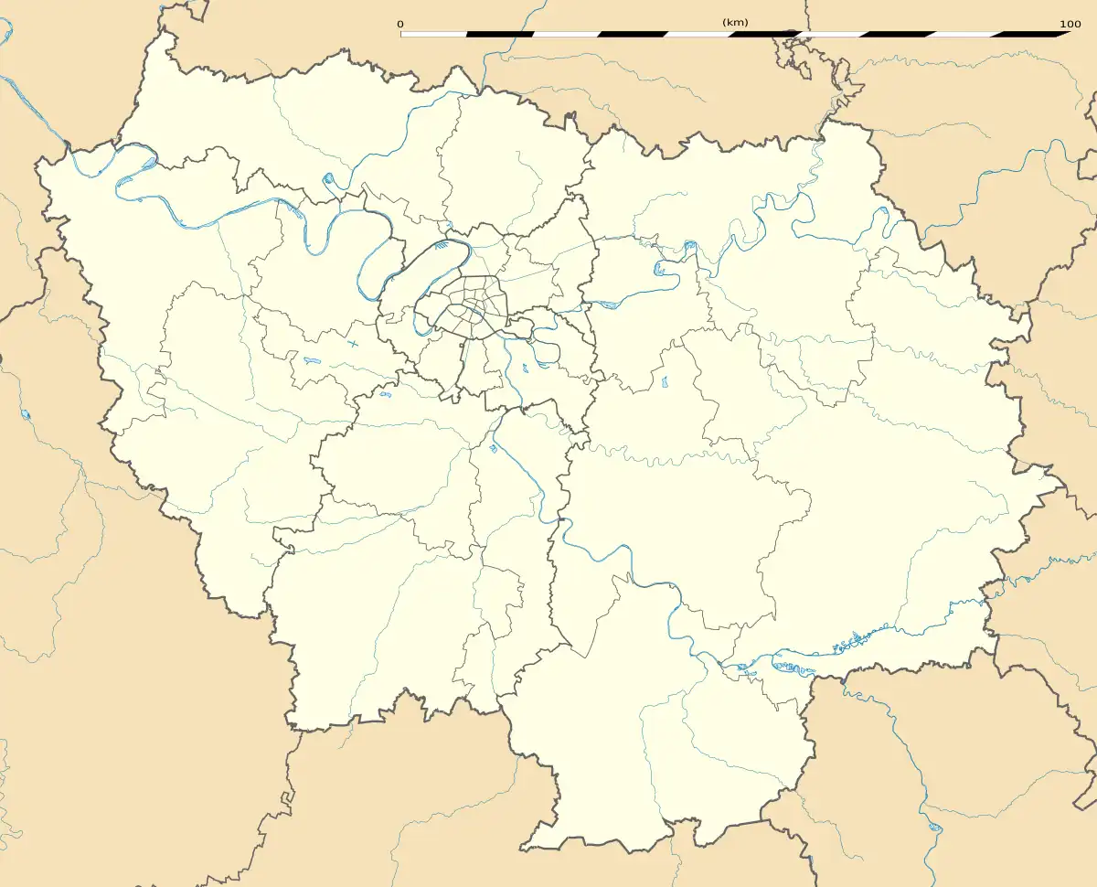 Gironville | |
| Coordinates: 48°11′09″N 2°31′44″E | |
| Country | France |
| Region | Île-de-France |
| Department | Seine-et-Marne |
| Arrondissement | Fontainebleau |
| Canton | Nemours |
| Intercommunality | CC Gâtinais-Val de Loing |
| Government | |
| • Mayor (2020–2026) | Marian Watts[1] |
| Area 1 | 13.71 km2 (5.29 sq mi) |
| Population | 152 |
| • Density | 11/km2 (29/sq mi) |
| Time zone | UTC+01:00 (CET) |
| • Summer (DST) | UTC+02:00 (CEST) |
| INSEE/Postal code | 77207 /77890 |
| Elevation | 89–114 m (292–374 ft) |
| 1 French Land Register data, which excludes lakes, ponds, glaciers > 1 km2 (0.386 sq mi or 247 acres) and river estuaries. | |
Demographics
Inhabitants are called Gironvillois.
References
- "Répertoire national des élus: les maires". data.gouv.fr, Plateforme ouverte des données publiques françaises (in French). 2 December 2020.
- "Populations légales 2020". The National Institute of Statistics and Economic Studies. 29 December 2022.
External links
Wikimedia Commons has media related to Gironville (Seine-et-Marne).
- 1999 Land Use, from IAURIF (Institute for Urban Planning and Development of the Paris-Île-de-France région) (in English)
This article is issued from Wikipedia. The text is licensed under Creative Commons - Attribution - Sharealike. Additional terms may apply for the media files.