Glen Nell, Ohio
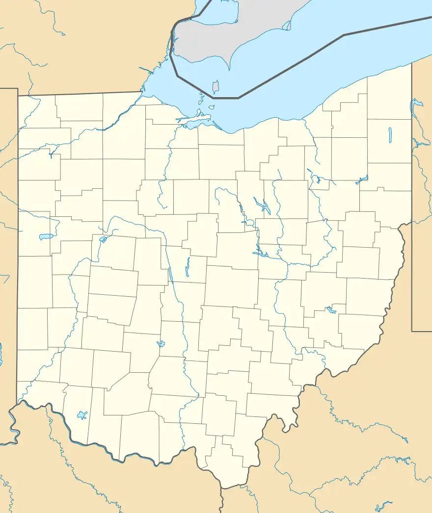
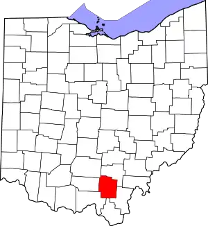
Glen Nell is an unincorporated community in Washington Township, Jackson County, Ohio, United States. It is located west of Wellston at the intersection of Glen Nell Road and Von-Glen Nell Road, at 39°08′51″N 82°37′17″W.[2][3]
Glen Nell, Ohio | |
|---|---|
 Glen Nell, Ohio Location of Glen Nell, Ohio | |
| Coordinates: 39°08′51″N 82°37′17″W | |
| Country | United States |
| State | Ohio |
| Counties | Jackson |
| Elevation | 663 ft (202 m) |
| Time zone | UTC-5 (Eastern (EST)) |
| • Summer (DST) | UTC-4 (EDT) |
| ZIP code | 45692 |
| Area code | 740 |
| GNIS feature ID | 1062785[1] |
History
Glen Nell was founded as a company town for the Glen Nell Coal Company. The company mined coal at this location in a slope mine called the "Glen Nell Mine", later called the "Phoenix Mine", opened about 1890.[4][5] The Company also operated two drift mines nearby, called "Eclipse #1" and "Eclipse #2". As of 1893, there were 15 miners, 8 day laborers, one Superintendent, and one Mine Boss employed at the mine and a spur of the CH&D Railroad leading to the location,[5] but the mine was "long abandoned" by 1921.[6]
There is a Wilcox Post Office listed as being "at the Glen Nell Coal Works",[4] but no record of when it was established or discontinued.
References
- "US Board on Geographic Names". United States Geological Survey. 2007-10-25. Retrieved 2020-01-06.
- U.S. Geological Survey Geographic Names Information System: Glen Nell, Ohio
- Rand McNally. The Road Atlas '06. Chicago: Rand McNally, 2006, 78.
- Jackson County, Ohio Genealogical Society. Jackson County, Ohio: History and Families, 175th Anniversary, 1816-1991, Volume 1. Turner Publishing Company. 1991.
- Ohio Inspector of Mines. Annual Report of the Chief Inspector of Mines, Issue 18. Industrial Commission, Department of Inspection, Division of Mines. 1893.
- Conrey, G.W.. Geology of Wayne County. Geological Survey of Ohio, Fourth Series, Bulletin, Volumes 24-25. Legislature of Ohio. 1921. Pg. 17.
