Mabee Corner, Ohio
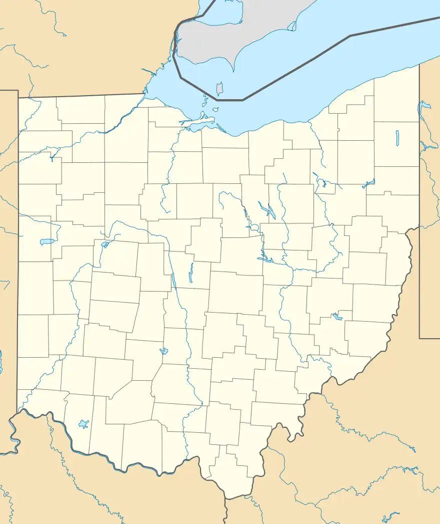
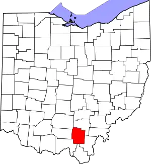
Mabee Corner (also previously known as Mabee's Stand and simply Mabee's) is an unincorporated community in Hamilton Township, Jackson County, Ohio, United States. It is located west of Oak Hill at the intersection of Bucklick Creek Road (County Road 63) and Ohio State Route 139, at 38°54′10″N 82°43′16″W.[2][3]
Mabee Corner, Ohio | |
|---|---|
 Mabee Corner, Ohio Location of Mabee Corner, Ohio | |
| Coordinates: 38°54′10″N 82°43′16″W | |
| Country | United States |
| State | Ohio |
| Counties | Jackson |
| Elevation | 640 ft (195 m) |
| Time zone | UTC-5 (Eastern (EST)) |
| • Summer (DST) | UTC-4 (EDT) |
| ZIP code | 45656 |
| Area code | 740 |
| GNIS feature ID | 1070828[1] |
The town is named for William Mabee, who built a store here in 1846 called "Mabee's Stand". The Mabees Post Office was originally established at Mabee's store on September 27, 1849 with James Mabee as the first Postmaster. It was the fourth post office established in the county.[4] The post office was moved and the name was changed to Mabee Post Office on July 11, 1892. Later it was moved back to the store location, but ultimately discontinued on September 15, 1904. Mail service is now handled through the Oak hill branch.[5] As of 1916, Mabee was the only community in the township.[6]
References
- "US Board on Geographic Names". United States Geological Survey. 2007-10-25. Retrieved 2020-01-08.
- U.S. Geological Survey Geographic Names Information System: Mabee Corner, Ohio
- Rand McNally. The Road Atlas '06. Chicago: Rand McNally, 2006, 78.
- Jackson County, Ohio Genealogical Society, Jackson County, Ohio: History and Families, 175th Anniversary, 1816-1991, Volume 1, Turner Publishing Company, 1991, Pg. 61.
- U.S. Geological Survey Geographic Names Information System: Mabee Post Office (historical)
- Willard, Eugene B., et al., A Standard History of the Hanging Rock Iron Region of Ohio: An Authentic Narrative of the Past, with an Extended Survey of the Industrial and Commercial Development, Volume 1, Lewis Publishing Company, 1916, Pg. 538.
