Hawleyville, Connecticut
Hawleyville is an unincorporated community in Fairfield County in the town of Newtown, Connecticut, about 1 mile outside the borough of Newtown. It was listed as a census-designated place prior to the 2020 census.[1]
Hawleyville, Connecticut | |
|---|---|
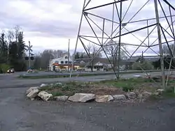
 The Hawleyville Deli lies along Route 25 where it crosses the Housatonic Railroad. | |
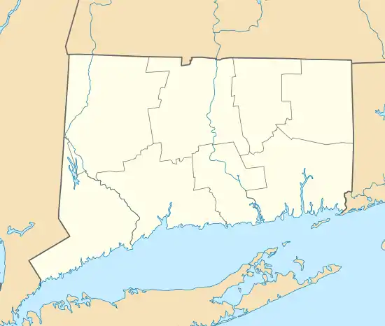
 Location within the Western Connecticut Planning Region and the state of Connecticut | |
 Hawleyville  Hawleyville | |
| Coordinates: 41°25′33″N 73°21′20″W | |
| Country | |
| U.S. state | |
| County | Fairfield |
| Metropolitan area | Bridgeport-Stamford |
| Town | Newtown |
| Time zone | UTC−5 (Eastern) |
| • Summer (DST) | UTC−4 (EDT) |
| ZIP code | 06440-9992 |
| Area code(s) | 203/475 |
History
Hawleyville is named after the family of Glover Hawley. This was a condition Hawley included in the sale of land to the Housatonic Railroad Company in the nineteenth century.[2] Hawleyville briefly emerged as a railroad center, causing Newtown's population to grow to over 4,000 circa 1881.[3] The railroads included the New York and New England Railroad and the Hawleyville Branch of the Danbury and Norwalk Railroad. As of 2018, the Housatonic Railroad Company owns a lumber distribution and bulk transfer facility in Hawleyville.[4]
Hawleyville gained a sewer system in 2001, which was subsequently expanded upon in 2016. It utilizes the nearby Danbury, Connecticut, sewage plant.[5]
Emergency services
The area is served by Hawleyville Volunteer Fire and Rescue.[6]
References
- "Hawleyville Census Designated Place". Geographic Names Information System. United States Geological Survey, United States Department of the Interior.
- H. Roger Grant, Railroads and the American People, p. 251, Indiana University Press, 2012 ISBN 0253006376.
- Ronald Dale Karr (1995). The Rail Lines of Southern New England, A Handbook of Railroad History. Branch Line Press. ISBN 0-942147-02-2.
- "Freight market analysis report" (PDF). www.dotdata.ct.gov. 2014. Retrieved June 28, 2020.
- "Developer Challenges Proposed Water Pollution Control Plan". www.newtownbee.com.
- "Top of the Mountain". www.newtownbee.com.
