Karrösten
Karrösten is a municipality and a village in the district of Imst, located 1.3 km east of Imst. The village was founded because of mining in the 16th century. Fruits and maize as well as sweet chestnuts flourish on the slopes.
Karrösten | |
|---|---|
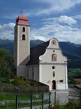 Catholic hurch in Karrösten | |
 Coat of arms | |
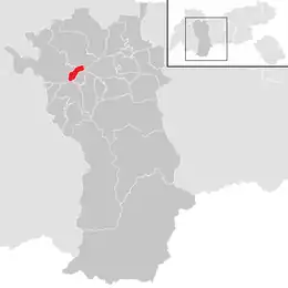 Location in the district | |
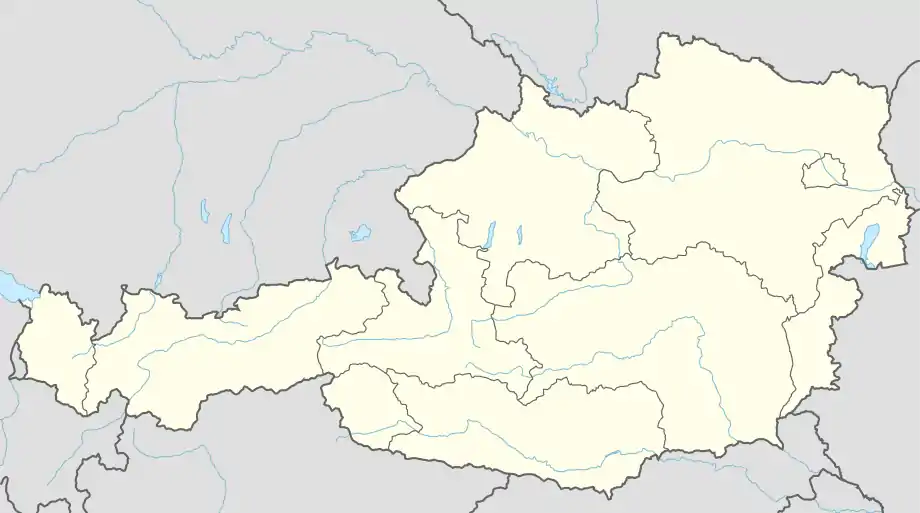 Karrösten Location within Austria | |
| Coordinates: 47°13′00″N 10°46′00″E | |
| Country | Austria |
| State | Tyrol |
| District | Imst |
| Government | |
| • Mayor | Oswald Krabacher (ÖVP) |
| Area | |
| • Total | 7.91 km2 (3.05 sq mi) |
| Elevation | 918 m (3,012 ft) |
| Population (2018-01-01)[2] | |
| • Total | 676 |
| • Density | 85/km2 (220/sq mi) |
| Time zone | UTC+1 (CET) |
| • Summer (DST) | UTC+2 (CEST) |
| Postal code | 6463 |
| Area code | +43 5412 |
| Vehicle registration | IM |
| Website | Gemeinde Karrösten |
Population
| Year | Pop. | ±% |
|---|---|---|
| 1869 | 342 | — |
| 1880 | 325 | −5.0% |
| 1890 | 326 | +0.3% |
| 1900 | 353 | +8.3% |
| 1910 | 358 | +1.4% |
| 1923 | 345 | −3.6% |
| 1934 | 376 | +9.0% |
| 1939 | 405 | +7.7% |
| 1951 | 416 | +2.7% |
| 1961 | 484 | +16.3% |
| 1971 | 500 | +3.3% |
| 1981 | 564 | +12.8% |
| 1991 | 647 | +14.7% |
| 2001 | 685 | +5.9% |
| 2011 | 680 | −0.7% |
References
- "Dauersiedlungsraum der Gemeinden Politischen Bezirke und Bundesländer - Gebietsstand 1.1.2018". Statistics Austria. Retrieved 10 March 2019.
- "Einwohnerzahl 1.1.2018 nach Gemeinden mit Status, Gebietsstand 1.1.2018". Statistics Austria. Retrieved 9 March 2019.
This article is issued from Wikipedia. The text is licensed under Creative Commons - Attribution - Sharealike. Additional terms may apply for the media files.