Kolaka Regency
Kolaka Regency (Kabupaten Kolaka) is a regency of Southeast Sulawesi Province, Indonesia. It covers an area of 2,958.69 km2 (1,142.36 sq mi)[lower-alpha 1] and had a population of 208,817 at the 2010 Census,[2] rising to 237,587 at the 2020 Census;[3] the official estimate as at mid 2022 was 246,137 (comprising 125,462 males and 120,675 females).[1] The principal town lies at Kolaka.
Kolaka Regency
Kabupaten Kolaka | |
|---|---|
 Coat of arms | |
| Motto(s): Sanggae Olutomu Pekiki Inesamba (Together to Build a Prosperous Area) | |
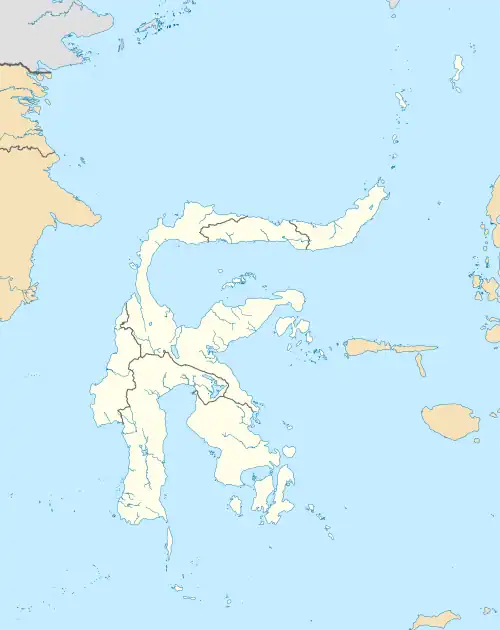
 Location within Southeast Sulawesi | |
| Coordinates: 4°02′57″S 121°36′59″E | |
| Country | Indonesia |
| Province | Southeast Sulawesi |
| Capital | Kolaka |
| Government | |
| • Regent | Ahmad Safei |
| • Vice Regent | Muhammad Jayadin |
| Area | |
| • Total | 2,958.69 km2 (1,142.36 sq mi) |
| Population (mid 2022 estimate)[1] | |
| • Total | 246,137 |
| • Density | 83/km2 (220/sq mi) |
| Time zone | UTC+8 (ICST) |
| Area code | (+62) 405 |
| Website | kolakakab.go.id |

Administrative districts
The Kolaka Regency was until 2013 divided into twenty districts (kecamatan). On 14 December 2012, the Indonesian Parliament approved the establishment of a new East Kolaka Regency (Kabupaten Kolaka Timur), and in 2013, under Law No. 8 of 2013, the nine eastern kecamatan were removed to form the new East Kolaka Regency, leaving the eleven western kecamatan in Kolaka Regency. A twelfth district (Iwoimendaa) has subsequently been added by splitting off the western villages of Wolo District. The twelve districts are tabulated below with their areas and their populations at the 2010 Census[2] and the 2020 Census,[3] together with the official estimates as at mid 2022.[1] The table also includes the location of the district headquarters, the number of administrative villages in each district (totaling 100 rural desa and 35 urban kelurahan), and their post codes.
| Name of District (kecamatan) | Area in km2 | Pop'n Census 2010 | Pop'n Census 2020 | Pop'n Estimate mid 2022 | Admin centre | No. of villages | Post code(s) |
|---|---|---|---|---|---|---|---|
| Watubangga | 351.97 | 14,169 | 15,740 | 16,219 | Watubangga | 14 | 93566 |
| Tanggetada | 237.70 | 13,310 | 15,600 | 16,247 | Anaiwoi | 14 | 93564 |
| Toari | 105.37 | 8,925 | 9,690 | 9,938 | Ranomentaa | 10 | 93565 |
| Polinggona | 124.02 | 6,497 | 5,890 | 5,948 | Polinggona | 7 | 93563 |
| Pomalaa | 243.90 | 28,199 | 31,670 | 32,707 | Tongoni | 12 | 93562 |
| Wundulako[upper-alpha 1] | 172.61 | 18,588 | 21,930 | 22,865 | Kowioha | 11[upper-alpha 2] | 93560 |
| Baula | 107.90 | 10,126 | 12,160 | 12,715 | Puundoho | 10 | 93561 |
| Kolaka | 134.45 | 36,147 | 40,200 | 41,429 | Lamokato | 7[upper-alpha 3] | 93511, 93515, 93517 - 93519 |
| Latambaga | 224.46 | 27,558 | 31,440 | 32,569 | Mangolo | 7[upper-alpha 3] | 93512 & 93514 |
| Samaturu | 659.08 | 21,045 | 20,480 | 21,190 | Tosiba | 19 | 93521 |
| Wolo[upper-alpha 4] | 395.03 | 24,253 | 24,900 | 25,974 | Wolo | 14 | 93553 |
| Iwoimendaa | 202.22 | [upper-alpha 5] | 7,880 | 8,336 | Iwoimendaa | 10 | 93552 |
| Totals | 2,958.69 | 208,817 | 237,587 | 246,137 | Kolaka | 135 |
- Including 10 small offshore islands
- Comprising 6 kelurahan and 5 desa
- Comprising 7 kelurahan
- Including the 2 offshore islands of Pulau Laburoko and Pulau Pisang
- The 2010 population of the new Iwoimendaa District is included in the 2010 figure for Wolo District, from which it was later cut out.
Climate
Kolaka Regency has a tropical rainforest climate (Af) with moderate rainfall from August to October and heavy rainfall from November to July. The following climate data is for the town of Kolaka, the seat of the regency.
| Climate data for Kolaka | |||||||||||||
|---|---|---|---|---|---|---|---|---|---|---|---|---|---|
| Month | Jan | Feb | Mar | Apr | May | Jun | Jul | Aug | Sep | Oct | Nov | Dec | Year |
| Average high °C (°F) | 31.0 (87.8) |
31.0 (87.8) |
31.1 (88.0) |
31.2 (88.2) |
30.8 (87.4) |
30.1 (86.2) |
29.9 (85.8) |
30.6 (87.1) |
31.4 (88.5) |
32.5 (90.5) |
32.2 (90.0) |
31.5 (88.7) |
31.1 (88.0) |
| Daily mean °C (°F) | 27.1 (80.8) |
27.2 (81.0) |
27.2 (81.0) |
27.3 (81.1) |
27.1 (80.8) |
26.5 (79.7) |
26.0 (78.8) |
26.2 (79.2) |
26.7 (80.1) |
27.6 (81.7) |
27.8 (82.0) |
27.5 (81.5) |
27.0 (80.6) |
| Average low °C (°F) | 23.3 (73.9) |
23.4 (74.1) |
23.4 (74.1) |
23.5 (74.3) |
23.5 (74.3) |
22.9 (73.2) |
22.1 (71.8) |
21.9 (71.4) |
22.1 (71.8) |
22.7 (72.9) |
23.5 (74.3) |
23.5 (74.3) |
23.0 (73.4) |
| Average rainfall mm (inches) | 193 (7.6) |
189 (7.4) |
226 (8.9) |
221 (8.7) |
266 (10.5) |
196 (7.7) |
142 (5.6) |
100 (3.9) |
92 (3.6) |
115 (4.5) |
143 (5.6) |
142 (5.6) |
2,025 (79.6) |
| Source: Climate-Data.org[4] | |||||||||||||
Notes
- This is the figure supplied by the Regency BPS; the figure quoted by the Province BPS is 3,283.59 km2 (1,267.80 sq mi).
References
- Badan Pusat Statistik, Jakarta, 2023, Kabupaten Kolaka Dalam Angka 2023 (Katalog-BPS 1102001.7401)
- Biro Pusat Statistik, Jakarta, 2011.
- Badan Pusat Statistik, Jakarta, 2021.
- "Climate: Kolaka". Climate-Data.org. Retrieved 22 November 2020.
Regencies and cities of Southeast Sulawesi | ||
|---|---|---|
Capital: Kendari | ||
| Regencies | ||
| Cities | ||