Kware, Nairobi
Kware is a slum neighbourhood in Embakasi in the city of Nairobi. Located within the larger Eastlands area of Nairobi, it is approximately 9 kilometres (5.6 mi) east of the central business district. It borders the Mukuru slums and Initially Kware was predominantly an informal settlement but over the years part Kware and Pipeline have earned a reputation for their poor infrastructure, coupled with overcrowded flats, narrow streets, littering, as well as its poor drainage system.
Kware | |
|---|---|
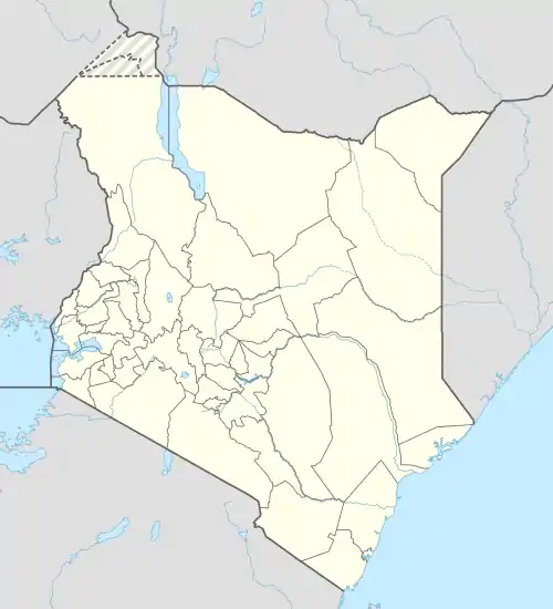
 Kware Location of Kware in Kenya | |
| Coordinates: 1°18′52″S 36°53′17″E | |
| Country | Kenya |
| County | Nairobi City |
| Sub-county | Embakasi |
Overview
Kware is located approximately 9 kilometres (5.6 mi) southeast of Nairobi's central business district, west of the Outer Ring Road within the Eastlands area in Embakasi. Kware, a mispronounced version of 'quarry', got its name from a nearby quarry site. It borders the Mukuru and Pipeline slums.[1] Electorally, Kware is placed under Embakasi South Constituency; the whole constituency is within the Embakasi Sub-county. Kware is also an electoral ward within the constituency.[2]
As of 2019, Kware together with Pipeline have a population of 166,517, with 87,056 of them being male and 79,439 being female. The neighbourhood has a population density of 106,445/km2 in a land area of 1.6km2, the highest after Huruma.[3]
References
- "How Pipeline estate became the laughing stock of Nairobi". Nation. 15 February 2021. Retrieved 2 December 2022.
- "Kware County Assembly Ward". Kenya Cradle. Retrieved 2 December 2022.
- "2019 Kenya Population and Housing Census Volume II: Distribution of Population by Administrative Units". Kenya National Bureau of Statistics. p. 247. Retrieved 28 March 2020.
