Lambhua
Lambhua is a town, tehsil, and a Nagar panchayat in Sultanpur district in the Indian state of Uttar Pradesh. It is located on the National Highway 731.
Lambhua | |
|---|---|
Town | |
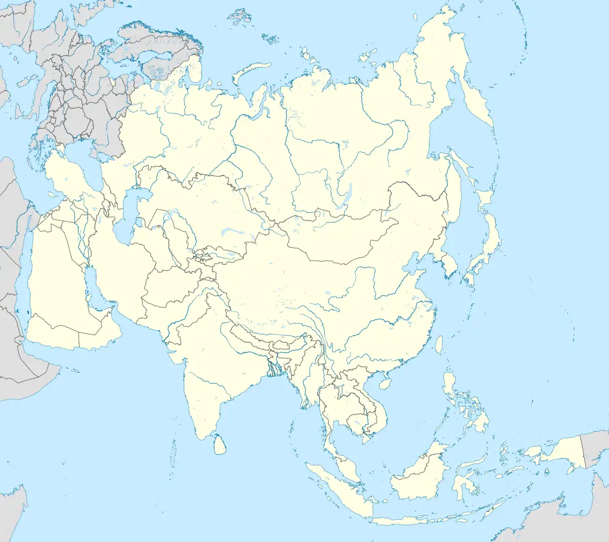
 Lambhua Location in Uttar Pradesh, India  Lambhua Lambhua (India)  Lambhua Lambhua (Asia) | |
| Coordinates: 26.13°N 82.21°E | |
| Country | |
| State | Uttar Pradesh |
| District | Sultanpur |
| Population (2011) | |
| • Total | 8,201 |
| Language | |
| • Official | Hindi[1] |
| • Regional | Awadhi[1] |
| Time zone | UTC+5:30 (IST) |
| Vehicle registration | UP-44 |
| Sex ratio | 1000:1014 ♂/♀ |
Demographics
As of the 2011 Census of India, Lambhua had a population of 8201. Males constitute 52% of the population and females 48%. Lambhua has an average literacy rate of 82.66%, more than the state average of 67.68%: male literacy is 90.59%, and female literacy is 73.92%.[2]
Transportation
Rail
Lambhua is well connected with major cities of India through the Indian Railways network. Lambhua Railway Station comes under Northern Zone of Indian Railways. Some important trains from Lambhua are the Varuna Express to Lucknow Varanasi, Kanpur, the Howrah Amritsar Express connecting Kolkata and Amritsar, Sadbhawna Express to Bihar, and the Farakka Express to Delhi and Kota Patna express connecting Kota, Patna and other stations.
Road
Lamhua is situated on the National Highway 56(NH-56), 154 km from Lucknow, the capital city of Uttar Pradesh and about 128 Km from Holi city Varanasi. State highway connects Lambhua from Allahabad, 122 km, and Faizabad, situated at 78 km away. State Road Transport buses as well as hired public conveyances are available frequently for these places.
Air
An upcoming Ayodhya Airport is the nearest airport from Lambhua, Sultanpur.[3]
Geographic location
See also
References
- "52nd Report of the Commissioner for Linguistic Minorities in India" (PDF). nclm.nic.in. Ministry of Minority Affairs. Archived from the original (PDF) on 25 May 2017. Retrieved 11 January 2019.
- Live online monitoring using Information and Communication Technology :: I.C.T. Uttar Pradesh, Crop Status, Agro-meteorological Advisory, Customized Training, Daily Weather Records Archived 15 July 2012 at archive.today. Ict.agri.net.in. Retrieved on 28 December 2012.
- "Upcoming Ayodhya airport to be named after Lord Ram". Hindustan Times. 25 November 2020. Retrieved 23 February 2021.