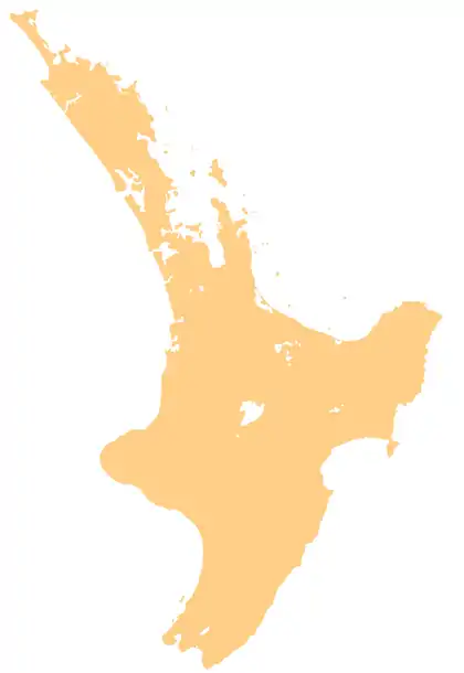
Mahurangi Peninsula
Mahurangi Peninsula is a landform in the Rodney Local Board Area in the Auckland Region of New Zealand's North Island. It is located between two bodies of water: the Mahurangi Harbour and Kawau Bay.
Mahurangi Peninsula | |
|---|---|
.jpg.webp) The Mahurangi Peninsula seen from Mahurangi West | |
 Mahurangi Peninsula | |
| Coordinates: 36.450°S 174.746°E | |
| Location | Auckland, New Zealand |
| Area | |
| • Total | 46.67 square kilometres (18.02 sq mi) |
Geography
The settlements of Snells Beach and Algies Bay are located in the northern part of the peninsula. Scandrett Regional Park is located on the eastern side of the peninsula. Scott Point is the south-western most point of the peninsula, and includes the Mahurangi Scenic Reserve, Scotts Landing and Scott Homestead.[2]
References
- "Scotts Landing". auckland.govt.nz. Auckland Council.
This article is issued from Wikipedia. The text is licensed under Creative Commons - Attribution - Sharealike. Additional terms may apply for the media files.