Mendes, Georgia
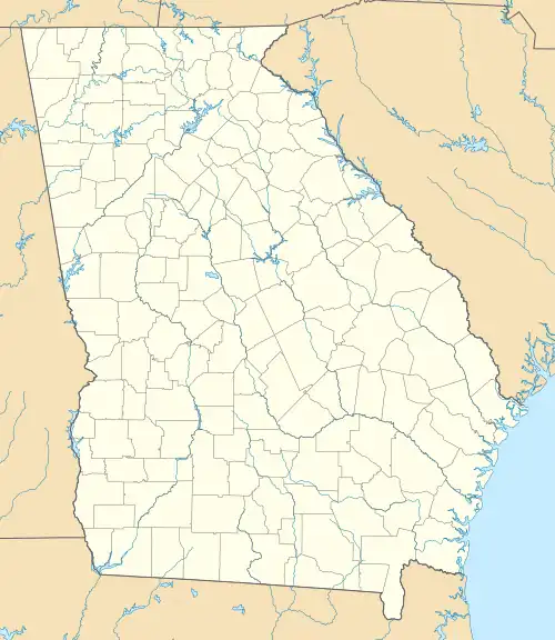
Mendes is a census-designated place and unincorporated community in Tattnall County, Georgia, United States. Its population was 124 as of the 2020 census. Georgia State Route 169 passes through the community.
Mendes, Georgia | |
|---|---|
 Mendes, Georgia | |
| Coordinates: 31°59′56″N 81°58′26″W | |
| Country | United States |
| State | Georgia |
| County | Tattnall |
| Area | |
| • Total | 0.61 sq mi (1.59 km2) |
| • Land | 0.60 sq mi (1.57 km2) |
| • Water | 0.01 sq mi (0.02 km2) |
| Elevation | 180 ft (50 m) |
| Population (2020) | |
| • Total | 124 |
| • Density | 204.96/sq mi (79.13/km2) |
| Time zone | UTC-5 (Eastern (EST)) |
| • Summer (DST) | UTC-4 (EDT) |
| ZIP code | 30427[2] |
| Area code | 912 |
| GNIS feature ID | 332372[3] |
References
- "2020 U.S. Gazetteer Files". United States Census Bureau. Retrieved December 18, 2021.
- "Mendes ZIP Code". zipdatamaps.com. 2023. Retrieved January 12, 2023.
- "Mendes". Geographic Names Information System. United States Geological Survey, United States Department of the Interior.
- "Census of Population and Housing". Census.gov. Retrieved June 4, 2016.
Municipalities and communities of Tattnall County, Georgia, United States | ||
|---|---|---|
| Cities | 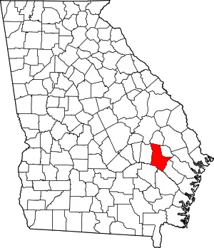 Map of Georgia highlighting Tattnall County | |
| CDP | ||
| Unincorporated community | ||
| Ghost town | ||
This article is issued from Wikipedia. The text is licensed under Creative Commons - Attribution - Sharealike. Additional terms may apply for the media files.