Mohawk River (New Hampshire)
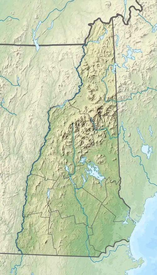
The Mohawk River is a 13.8-mile-long (22.2 km)[1] river in northern New Hampshire in the United States. It is a tributary of the Connecticut River, which flows south to Long Island Sound, an arm of the Atlantic Ocean.
| Mohawk River | |
|---|---|
 The Mohawk River entering Colebrook | |
  | |
| Location | |
| Country | United States |
| State | New Hampshire |
| County | Coos |
| Towns | Dixville, Colebrook |
| Physical characteristics | |
| Source | Lake Gloriette |
| • location | Dixville Notch |
| • coordinates | 44°52′02″N 71°18′27″W |
| • elevation | 1,846 ft (563 m) |
| Mouth | Connecticut River |
• location | Colebrook |
• coordinates | 44°54′02″N 71°30′17″W |
• elevation | 995 ft (303 m) |
| Length | 13.8 mi (22.2 km) |
| Basin features | |
| Tributaries | |
| • left | Roaring Brook |
| • right | Moose Brook, West Branch, Read Brook, Beaver Brook |
The Mohawk River rises at the outlet of Lake Gloriette in Dixville Notch and flows west-northwest to the Connecticut River in the town of Colebrook. It is paralleled for most of its length by New Hampshire Route 26.
See also
References
| Gulf of Maine |
| ||||||||||
|---|---|---|---|---|---|---|---|---|---|---|---|
| Long Island Sound |
| ||||||||||
This article is issued from Wikipedia. The text is licensed under Creative Commons - Attribution - Sharealike. Additional terms may apply for the media files.