Moore Reservoir
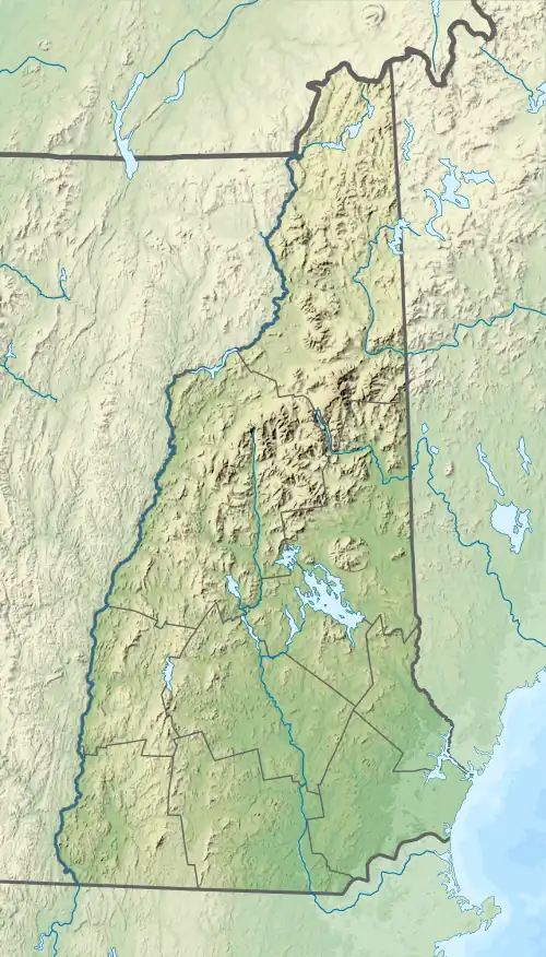
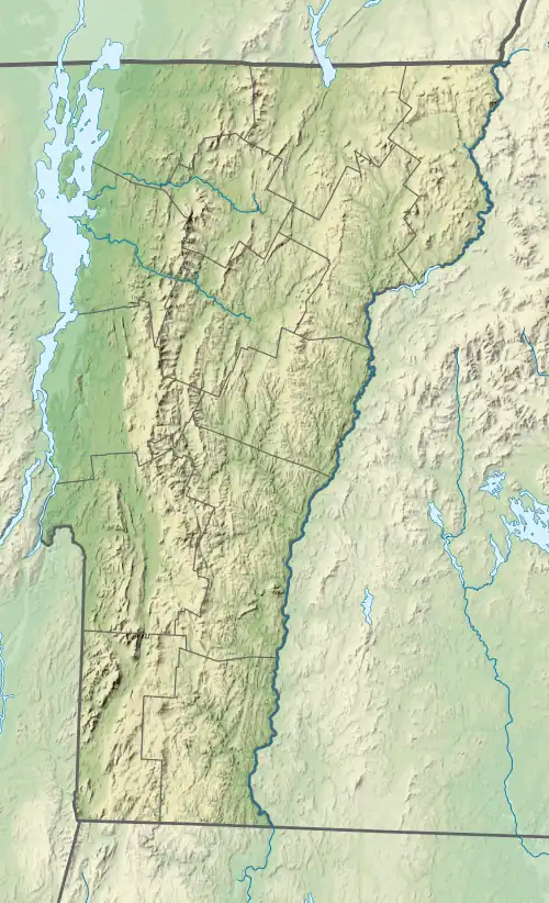
Moore Reservoir is an impoundment on the Connecticut River located in the communities of Littleton, New Hampshire; Dalton, New Hampshire; Waterford, Vermont; and Concord, Vermont. It occupies approximately 3,181 acres (12.87 km2).[1]
| Moore Reservoir | |
|---|---|
 | |
 Moore Reservoir  Moore Reservoir  Moore Reservoir | |
| Location | Grafton County and Coos County, New Hampshire; Caledonia County and Essex County, Vermont |
| Coordinates | 44°20′6″N 71°52′32″W |
| Type | Reservoir |
| Primary inflows | Connecticut River |
| Primary outflows | Connecticut River |
| Basin countries | United States |
| Max. length | 9.8 mi (15.8 km) |
| Max. width | 2.0 mi (3.2 km) |
| Surface area | 3,181 acres (12.87 km2) |
| Average depth | 60 feet (18 m) |
| Max. depth | 120 feet (37 m) |
| Surface elevation | 806 ft (246 m) |
| Settlements | Littleton and Dalton, New Hampshire; Waterford and Concord, Vermont |
It was created by the completion of the Moore Dam in 1956, which caused the flooding of several villages, including Pattenville, New Hampshire, and old Waterford, Vermont.[2] Moore Dam is now owned and operated by TransCanada Corporation. With a capacity of 192 megawatts, it is the most productive of TransCanada's thirteen hydroelectric facilities in New England.[3]
The lake is classified as a cold- and warmwater fishery, with observed species including brook trout, rainbow trout, brown trout, smallmouth and largemouth bass, chain pickerel, bullpout, northern pike, and rock bass.[1]

References
- "Moore Reservoir, Littleton" (PDF). NH Fish & Game. Retrieved September 3, 2014.
- The Columbia Gazetteer of North America, 2000.
- "Connecticut River and Deerfield River Hydro Facilities" (PDF). TransCanada. June 2012. Archived from the original (PDF) on November 1, 2013. Retrieved September 3, 2014.