Namayan, Mandaluyong
Namayan is a barangay in the city of Mandaluyong, Philippines. It is located in the western part of the city near the border with Santa Ana, Manila and Kasilawan and Carmona, Makati, separated from them by the Pasig River. The barangay covers an area of 30.60 hectares (75.6 acres) and is bordered by the barangays of Mabini–J.P. Rizal and Old Zañiga on the north, and Vergara on the east.[1] According to the 2020 census, it has a population of 7,670 people.[2]
Namayan | |
|---|---|
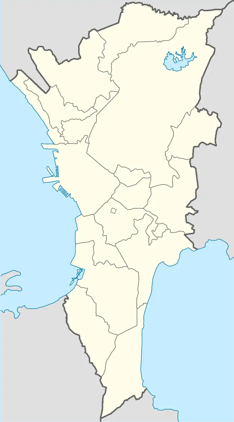 Namayan Location of Namayan, Mandaluyong in Metro Manila | |
| Coordinates: 14°34′51.76″N 121°1′11.61″E | |
| Country | |
| Region | Metro Manila |
| City | Mandaluyong |
| Government | |
| • Type | Barangay |
| • Barangay Captain | Victor Emmanuel Francisco Jr. |
| Area | |
| • Total | 30.60 ha (75.61 acres) |
| Population (2020) | |
| • Total | 7,670 |
| Time zone | UTC+8 (Philippine Standard Time) |
Namayan was the center of a pre-Hispanic kingdom that covered much of the modern city of Manila and surrounding cities in southern and eastern Metro Manila.
Education
- Doña Basilisa Yangco Elementary School
Landmarks
- Namayan Church
- Namayan Park
- Most Sacred Heart of Jesus Sub-Parish Church
References
- "Mandaluyong City Barangays: Namayan". Mandaluyong City Government. Retrieved January 25, 2017.
- "2020 Census of Population and Housing Results (City of Mandaluyong)" (PDF). Philippine Statistics Authority. August 16, 2021. Retrieved July 21, 2022.
This article is issued from Wikipedia. The text is licensed under Creative Commons - Attribution - Sharealike. Additional terms may apply for the media files.