Narrows Pond
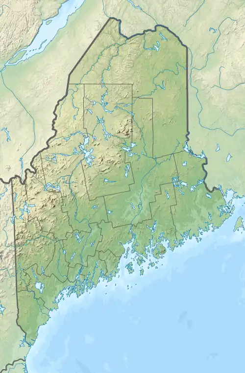
Narrows Pond is actually two small twin lakes in Winthrop, Maine. They are Upper and Lower Narrows Pond, and are divided by a very narrow isthmus, hence the name. The isthmus is traversed by Narrows Pond Road, and a culvert connects the two lakes. People in canoes or kayaks can travel between the two lakes, though only by ducking first.
| Narrows Pond | |
|---|---|
 Narrows Pond  Narrows Pond | |
| Location | Kennebec County, Maine |
| Coordinates | 44°17′50″N 69°57′0″W |
| Catchment area | 8.5 square miles (22 km2) |
| Basin countries | United States |
| Max. depth | 106 feet (32 m) (Lower) |
| Water volume | 10,793 acre⋅ft (13,313,000 m3) (combined) |
| Surface elevation | 172 feet (52 m) (both) |
Upper Narrows Pond covers 222 acres (90 ha) with a mean depth of 25 feet (7.6 m) and a maximum depth of 59 feet (18 m). The volume of Upper Narrows is 4,953 acre-feet (6,109,000 m3).
Both lakes' shores are lined with cottages, most of them summer residences. Seaplanes are allowed to land and take off from the Upper Pond. A Methodist summer camp is located on the Lower Pond.
External links
- "Upper Narrows Pond". Geographic Names Information System. United States Geological Survey, United States Department of the Interior. Retrieved 2009-04-06.
- "Lower Narrows Pond". Geographic Names Information System. United States Geological Survey, United States Department of the Interior. Retrieved 2009-04-06.
This article is issued from Wikipedia. The text is licensed under Creative Commons - Attribution - Sharealike. Additional terms may apply for the media files.