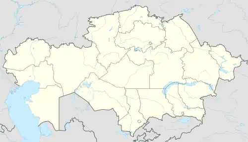
Nura, Talgar District
Nura (Kazakh: Нұра, Nūra), until 1998 "Oktyabr", is a village in Almaty Region, in south-eastern Kazakhstan.[1] It is the head of the Nura Rural District (KATO code - 196257100).[2] Population: 4,327 (2009 Census results);[3] 3,864 (1999 Census results).[3][4] The center of the district is located 65 km north of the city of Talgar , on the banks of the Terengkara River, a branch of Talgar , near the Kapchagai dam , in a desert belt
Nura
Нұра | |
|---|---|
Village | |
 Nura Location in Kazakhstan | |
| Coordinates: 43°41′17″N 77°11′29″E | |
| Country | Kazakhstan |
| Region | Almaty Region |
| District | Talgar District |
| Population (2009) | |
| • Total | 4,327 |
| Time zone | UTC+6 (Omsk Time) |
| Post code | 041621 |
Geography
The village is located in an arid zone 65 km (40 mi) north of Talgar city. It lies by the banks of the Terengkara river, a tributary of the Talgar, near the Kapchagay Dam.[5]
References
- National Geospatial-Intelligence Agency. GeoNames database entry. (search) Accessed 13 May 2011.
- "База КАТО". Агентство Республики Казахстан по статистике. Archived from the original on 2013-03-10.
- "Население Республики Казахстан" [Population of the Republic of Kazakhstan] (in Russian). Департамент социальной и демографической статистики. Retrieved 8 December 2013.
- "Итоги Национальной переписи населения Республики Казахстан 2009 года" (PDF). Агентство Республики Казахстан по статистике. Archived from the original (PDF) on 2013-02-27.
- Google Earth.
This article is issued from Wikipedia. The text is licensed under Creative Commons - Attribution - Sharealike. Additional terms may apply for the media files.