Osino, Nevada
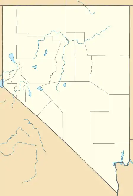
Osino is a census-designated place (CDP) in along the Humboldt River in central Elko County, Nevada, United States.[1] As of the 2018 United States Census American Community Survey it had a population of 661.[3]
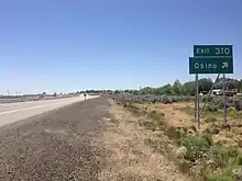
Westbound Interstate 80 in Osino, June 2014
Osino, Nevada | |
|---|---|
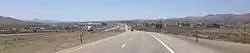 View west along Interstate 80 in Osino, June 2014 | |
 Osino | |
| Coordinates: 40°56′27″N 115°39′40″W[1] | |
| Country | United States |
| State | Nevada |
| County | Elko |
| Area | |
| • Total | 2.58 sq mi (6.67 km2) |
| • Land | 2.58 sq mi (6.67 km2) |
| • Water | 0.00 sq mi (0.00 km2) |
| Elevation | 5,157 ft (1,572 m) |
| Population (2020) | |
| • Total | 668 |
| • Density | 259.22/sq mi (100.10/km2) |
| Time zone | UTC-8 (Pacific (PST)) |
| • Summer (DST) | UTC-7 (PDT) |
| ZIP Code | 89801 |
| Area code | 775 |
| FIPS code | 32-53200 |
| GNIS feature ID | 856101 |
Description
Osino is located on Interstate 80 (Exit 310) on the northern foothills of two mountain ranges: the Elko Hills (on the south) and the Adobe Range (on the west). It is 9 miles (14 km) northeast of Elko and 41 miles (66 km) southwest of Wells.[5]
References
- "Osino Census Designated Place". Geographic Names Information System. United States Geological Survey, United States Department of the Interior.
- "ArcGIS REST Services Directory". United States Census Bureau. Retrieved September 19, 2022.
- "Census - Geographic Profile". U.S. Census Bureau. Retrieved February 16, 2016.
- "Census of Population and Housing". Census.gov. Retrieved June 4, 2016.
- Google (May 26, 2020). "Osino, Nevada 89801" (Map). Google Maps. Google. Retrieved May 26, 2020.
External links
![]() Media related to Osino, Nevada at Wikimedia Commons
Media related to Osino, Nevada at Wikimedia Commons
Municipalities and communities of Elko County, Nevada, United States | ||
|---|---|---|
| Cities | 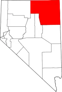 Elko County map | |
| CDPs | ||
| Other unincorporated communities | ||
| Indian reservations | ||
| Ghost towns |
| |
| Footnotes | ‡This populated place also has portions in an adjacent county or counties | |
This article is issued from Wikipedia. The text is licensed under Creative Commons - Attribution - Sharealike. Additional terms may apply for the media files.