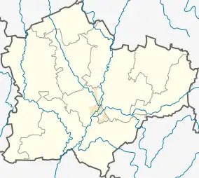
Paliepiukai, Kėdainiai
Paliepiukai ('little place under lime trees', formerly Russian: Полепи, Polish: Polepie)[1] is a village in Kėdainiai district municipality, in Kaunas County, in central Lithuania. According to the 2011 census, the village had a population of 18 people.[2] It is located 1.5 kilometres (0.93 mi) from Kampai II, nearby the confluence of the Nevėžis and the Šušvė rivers, next to the Šušvė Landscape Sanctuary. There is a large gravel pit. A small cemetery is located in the village.
Paliepiukai | |
|---|---|
Village | |
 | |
 Paliepiukai Location in Lithuania 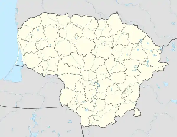 Paliepiukai Paliepiukai (Lithuania) | |
| Coordinates: 55°10′52″N 23°49′52″E | |
| Country | |
| County | |
| Municipality | Kėdainiai district municipality |
| Eldership | Josvainiai Eldership |
| Population (2011) | |
| • Total | 18 |
| Time zone | UTC+2 (EET) |
| • Summer (DST) | UTC+3 (EEST) |
Formerly it was a place of the Paliepiai manor.[1]
Demography
|
| |||||||||||||||||||||||||||
| Source: 1902, 1923, 1959 & 1970, 1979, 1989, 2001, 2011 | ||||||||||||||||||||||||||||
Images
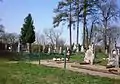 Cemetery
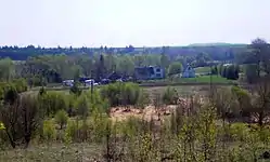
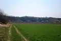 Nevėžis valley meadows in Paliepiukai
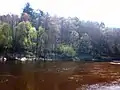 Nevėžis nearby Paliepiukai
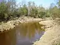 Šušvė nearby Paliepiukai
References
- "Polepie". Geographical Dictionary of the Kingdom of Poland (in Polish). 15 pt. 2. Warszawa: Kasa im. Józefa Mianowskiego. 1902. p. 487. "Polepie". Geographical Dictionary of the Kingdom of Poland (in Polish). 8. Warszawa: Kasa im. Józefa Mianowskiego. 1887. p. 579.
- "2011 census". Statistikos Departamentas (Lithuania). Retrieved August 21, 2017.
This article is issued from Wikipedia. The text is licensed under Creative Commons - Attribution - Sharealike. Additional terms may apply for the media files.