Pasrur
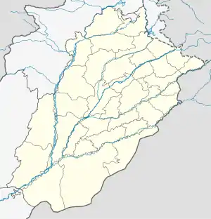
Pasrur (Punjabi and Urdu: پسرُور), is a city of Sialkot District in the Punjab province of Pakistan. The city is the capital of Pasrur Tehsil and is administratively subdivided into 26 wards of the municipal committee Pasrur.[2]
Pasrur
پسرُور | |
|---|---|
 Pasrur  Pasrur | |
| Coordinates: 32.16°N 74.40°E | |
| Country | |
| Province | |
| Division | Gujranwala |
| District | Sialkot |
| Government | |
| • Assistant Commissioner | Amir Shehzad |
| • M N A | Ali Zahid |
| Elevation | 238 m (781 ft) |
| Population | |
| • Total | 82,485 |
| Time zone | UTC+5 (PST) |
| Number of wards | 26 |
| Website | www.pasrur.pk |
It is located at 32°16'0N 74°40'0E with an altitude of 238 metres (784 feet).[3]
Nearby are the remains of a bridge built by Shah Daula.[4]
British era
During British rule, Pasrur became the headquarters of Pasrur Tehsil. The town (which lies 18 miles south of the district capital Sialkot) lies on the Sialkot to Amritsar road. The population in 1901 was 8,335. The trade of Pasrur has become very decayed, partly through the opening of the North-Western Railway and partly on account of the octroi duties which have diverted trade to the neighboring village of Saukin Wind. Hand-printed cotton stuff were the only manufacture of importance.
The municipality was created in 1867. The income during the ten years ending 1902-3 averaged Rs. 7,900, and the expenditure Rs. 7,800. The income in 1903-4 was Rs. 8,000, chiefly from octroi ; and the expenditure was Rs. 6,900. The town had an Anglo-vernacular high school maintained by the District board, and a Government dispensary.[4]
References
- "Punjāb (Pakistan): Province, Major Cities, Municipalites [sic] & Towns - Population Statistics, Maps, Charts, Weather and Web Information".
- Tehsils & Unions in the District of Sialkot - Government of Pakistan Archived 2012-02-09 at the Wayback Machine
- Location of Pasrur - Falling Rain Genomics
- Pasrūr Town - Imperial Gazetteer of India, v. 20, p. 23