Point Isabel, Indiana
Point Isabel is an unincorporated community and census-designated place (CDP) in central Green Township, Grant County, Indiana, United States. It lies at the intersection of State Roads 13 and 26.[4] As of the 2010 census it had a population of 91.[5]
Point Isabel, Indiana | |
|---|---|
 Along State Road 26 in Point Isabel | |
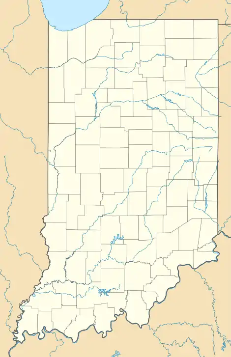
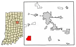 Location of Point Isabel in Grant County, Indiana. | |
 Point Isabel  Point Isabel | |
| Coordinates: 40°25′18″N 85°49′28″W | |
| Country | United States |
| State | Indiana |
| County | Grant |
| Township | Green |
| Area | |
| • Total | 0.57 sq mi (1.48 km2) |
| • Land | 0.57 sq mi (1.48 km2) |
| • Water | 0.00 sq mi (0.00 km2) |
| Elevation | 879 ft (268 m) |
| Population (2020) | |
| • Total | 114 |
| • Density | 200.00/sq mi (77.21/km2) |
| ZIP code | 46928 |
| FIPS code | 18-60894[3] |
| GNIS feature ID | 441391 |
A post office was established at Point Isabel in 1859, and remained in operation until it was discontinued in 1911.[6]

Geography
Point Isabel is located in southwestern Grant County at 40°25′18″N 85°49′28″W. State Road 13 leads north 6 miles (10 km) to Swayzee and south 10 miles (16 km) to Elwood, while State Road 26 leads east 9 miles (14 km) to Fairmount and west 16 miles (26 km) to the southern outskirts of Kokomo. Marion, the Grant County seat, is 15 miles (24 km) to the northeast via State Roads 26 and 37.
Education
Residents are in the Madison-Grant United School Corporation.[8] Madison-Grant High School is the zoned high school.
References
- "2020 U.S. Gazetteer Files". United States Census Bureau. Retrieved March 16, 2022.
- "US Board on Geographic Names". United States Geological Survey. October 25, 2007. Retrieved January 31, 2008.
- "U.S. Census website". United States Census Bureau. Retrieved January 31, 2008.
- DeLorme. Indiana Atlas & Gazetteer. 3rd ed. Yarmouth: DeLorme, 2004, p. 33. ISBN 0-89933-319-2.
- "Geographic Identifiers: 2010 Demographic Profile Data (G001): Point Isabel CDP, Indiana". American Factfinder. U.S. Census Bureau. Retrieved December 5, 2016.
- "Grant County". Jim Forte Postal History. Retrieved September 12, 2014.
- "Census of Population and Housing". Census.gov. Retrieved June 4, 2016.
- "SCHOOL DISTRICT REFERENCE MAP (2010 CENSUS): Grant County, IN" (Archive). U.S. Census Bureau. Retrieved on July 10, 2015.
External links
- Point Isabel Weather from the National Weather Service.
Municipalities and communities of Grant County, Indiana, United States | ||
|---|---|---|
| Cities | Map of Indiana highlighting Grant County | |
| Towns | ||
| Townships | ||
| CDPs | ||
| Other communities | ||
| Footnotes | ‡This populated place also has portions in an adjacent county or counties | |