Protected Forests (Japan)
Protected Forests (保護林, Hogo-rin) are areas of national forest in Japan so designated in an effort to conserve biodiversity. Japan's Protected Forest system includes three categories of protected forests: Forest Biosphere Reserves; Biotic Community Protection Forests; and Rare Population Protection Forests. Some of these national forests are linked by a network of Green Corridors that are also included in the system. Established in 1915, the system was overhauled in 2015 and expanded in 2019.
Background
Forests cover approximately two-thirds of Japan, extending over some 25,000,000 hectares (62,000,000 acres); of this, according to the Forestry Agency (林野庁), c.54% is classed as "natural forest", "planted forest" comprising most of the remainder.[1] In terms of ownership, 58% of all forest is in private hands, state-owned "national forests" (ja) represent 30%, with the remaining 12% otherwise publicly owned, by prefectural and municipal governments, etc.[1]
Forest conservation measures have a long history in the country: according to the Yōrō Code of 718, "the benefits of mountain, river, grove, and marsh are for government and people alike", with two clauses prohibiting cultivation in the mountains and encouraging the planting of trees along riverbanks and beside dams to counter erosion, while in Kasugayama Primeval Forest (春日山原始林) in Nara, tree-felling and hunting have been forbidden since 841.[2][3]
Currently, forests are protected under a number of different systems and laws: as Natural Parks under the Natural Parks Act, Nature Conservation Areas under the Nature Conservation Act, Wildlife Protection Areas under the Wildlife Protection and Hunting Management Act, Natural Habitat Conservation Areas under the Conservation of Endangered Species of Wild Fauna and Flora Act, Special Seed Tree Forests (特別母樹林) under the Forestry Seeds and Seedlings Act (林業種苗法), Historic Sites, Places of Scenic Beauty, and Natural Monuments under the Law for the Protection of Cultural Properties—and as Protected Forests and Green Corridors.[1][4]
Protected Forests date back to an ordinance of Taishō 4 (1915), with the first such forest established the following year, in Kamikōchi.[5][6] By 1932, there were 93 Protected Forests covering a combined area of 110,000 hectares (270,000 acres).[5] Demand for timber increased with post-war reconstruction, and the area protected had significantly decreased by the late 1950s and continued to fall through the 1960s.[5] In 1972, the Forestry Agency issued a new Protected Forest management plan, and in 1973 the area under protection increased 150%.[5] By 1988, there were 795 Protected Forests, covering an area of 166,800 hectares (412,000 acres).[5] In 1991, the National Forest Regulations were completely overhauled, with a renewed focus on function and use rather than classification based on species—the four types identified were National Land Conservation Forest, Natural Maintenance Forest, Space Utilization Forest, and Wood Production Forest—and in 2001 the Forests and Forestry Basic Act (森林・林業基本法) was fully revised in line with international trends towards sustainability; the nation's basic forestry strategy and management plan are developed in accordance with this Act.[1][5]
In 2015, a century after their institution, the Protected Forest system was revised, with the categories reduced from seven to three: (1) Forest Biosphere Reserve; (2) Biotic Community Protection Forest; and (3) Rare Population Protection Forest.[1][7][note 1] As of 1 April 2018, there were in total 666 Protected Forests, covering an area of 977,000 hectares (2,410,000 acres), approximately 4% of the total forested area of the country, and 13% of that represented by national forest.[8][9] As of 1 April 2019, a network of 24 Green Corridors, established to connect Protected Forests and facilitate interaction between discrete populations, represented a further 584,000 hectares (1,440,000 acres) of national forest.[1][10]
Protected Forests
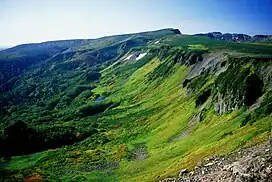
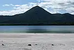
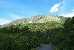
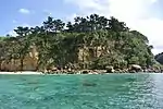
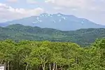
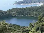
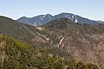
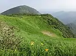
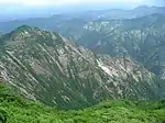
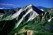
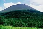
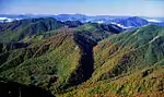
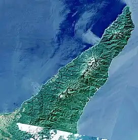
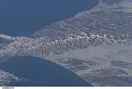
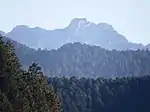
Forest Biosphere Reserves
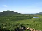
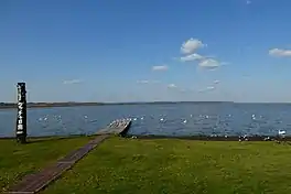
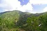
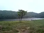
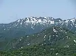
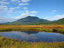
As of 1 April 2018, 31 Forest Biosphere Reserves (森林生態系保護地域) have been designated, covering an area of 701,000 hectares (1,730,000 acres).[8] Of these, four are also inscribed on the UNESCO World Heritage List as Natural World Heritage Sites: Shiretoko, Shirakami-Sanchi, Ogaswara Islands, and Yakushima, while Amami Islands, Yanbaru, and Iriomote have been nominated for joint inscription and are currently on the Tentative List.[8][11]

_from_Nagoriga-hara_marsh_-_panoramio.jpg.webp)


.jpg.webp)
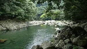
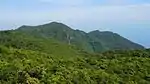

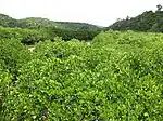
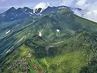
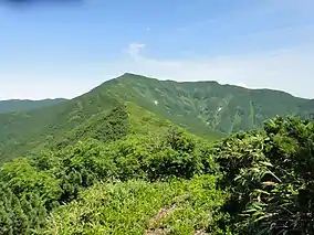
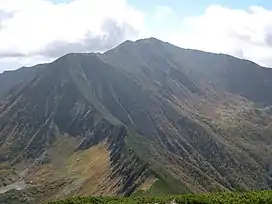
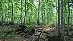
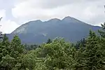
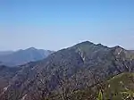
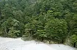
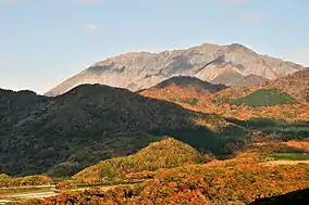
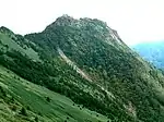
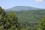
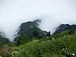
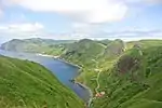
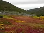
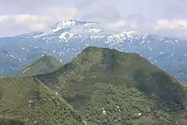
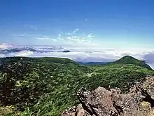
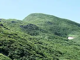
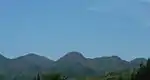
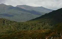
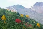
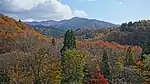
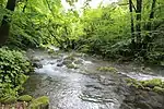
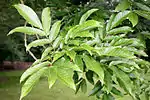
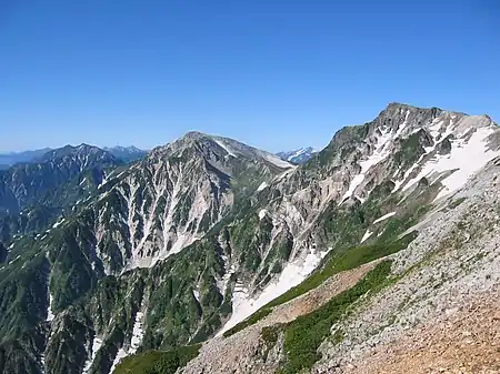
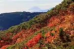
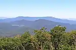
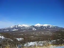
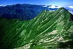
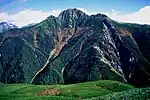
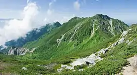
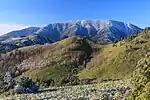
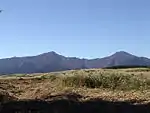
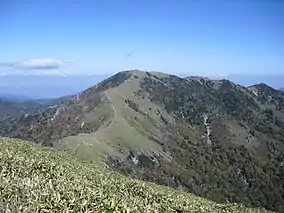
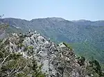
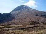
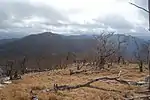
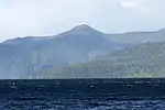
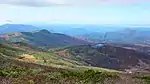
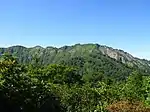
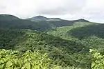
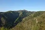
Biotic Community Protection Forests
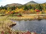
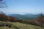
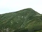
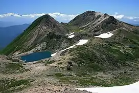
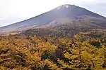
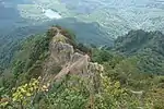
As of 1 April 2018, 95 Biotic Community Protection Forests (生物群集保護林) have been designated, covering an area of 236,000 hectares (580,000 acres).[8]


.jpg.webp)


_01.jpg.webp)
.jpg.webp)


.jpg.webp)


.jpg.webp)


.jpg.webp)

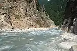
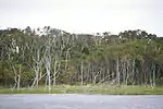
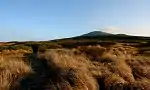
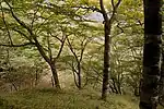
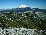
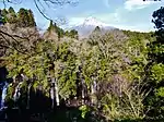
Rare Population Protection Forests
As of 1 April 2018, 540 Rare Population Protection Forests (希少個体群保護林) have been designated, covering an area of 40,000 hectares (99,000 acres).[8]
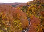
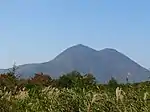
Green Corridors
As of 1 April 2019, 24 Green Corridors (緑の回廊) have been designated, covering an area of 584,000 hectares (1,440,000 acres).[10]
.jpg.webp)


_2011-10-10.jpg.webp)


See also
Notes
- Forest Biosphere Reserve (森林生態系保護地域) (sometimes alternatively rendered as Forest Ecosystem Reserve), Biotic Community Protection Forest (生物群集保護林), Rare Population Protection Forest (希少個体群保護林); the seven old categories were Forest Biosphere Reserve (森林生態系保護地域), Forest Biogenetic Resources Preservation Forest (森林生物遺伝資源保存林), Forest Tree Genetic Resources Preservation Forest (林木遺伝資源保存林), Plant Community Protection Forest (植物群落保護林), Specific Animal Habitat Protection Forest (特定動物生息地保護林), Specific Topography Protection Forest (特定地理等保護林), Hometown Forest (郷土の森)
References
- "State of Japan's Forests and Forest Management ― 3rd Country Report of Japan to the Montreal Process ―" (PDF). Forestry Agency. July 2019. pp. iv–xiii, 9, 19–21. Retrieved 3 April 2021.
- Totman, Conrad (1998). The Green Archipelago: Forestry in Pre-Industrial Japan. Ohio University Press. pp. 27–33. ISBN 0-8214-1255-8.
- "Historic Monuments of Ancient Nara". UNESCO. Retrieved 3 April 2021.
- "Protected Areas in Japan" (PDF). Ministry of the Environment. Retrieved 3 April 2021.
- Yasuhara Katsue; Nakasizuka Toru; Nagae Yasuhiro; Kumagai Yoichi (1992). "A Study on Forest Protection Management in Forest Reserve and its Changes" 保護林制度にみる森林の保護管理の変遷 [A Study on Forest Protection Management in Forest Reserve and its Changes]. Journal of the Japanese Institute of Landscape Architects (in Japanese). 56 (5): 187–192. doi:10.5632/jila1934.56.5_187.
- 「保護林設定ニ関スル件」 [On Establishing Protected Forests] (PDF) (in Japanese). Forestry Agency. 1915. Retrieved 3 April 2021.
- 保護林制度改正のポイント [Key Points for the Revision of the Protected Forest System] (PDF) (in Japanese). Forestry Agency. Retrieved 3 April 2021.
- 保護林 [Protected Forests] (in Japanese). Forestry Agency. Retrieved 3 April 2021.
- 保護林 [Protected Forests] (in Japanese). Forestry Agency. Retrieved 3 April 2021.
- 緑の回廊 [Green Corridors] (in Japanese). Forestry Agency. Retrieved 3 April 2021.
- "Amami-Oshima Island, Tokunoshima Island, the northern part of Okinawa Island and Iriomote Island". UNESCO. Retrieved 7 April 2021.
External links
- (in Japanese) Links to regional Protected Forest listings