Rodrigues Alves, Acre
Rodrigues Alves, Acre | |
|---|---|
 | |
.svg.png.webp) Flag  Seal | |
 Location of municipality in Acre State | |
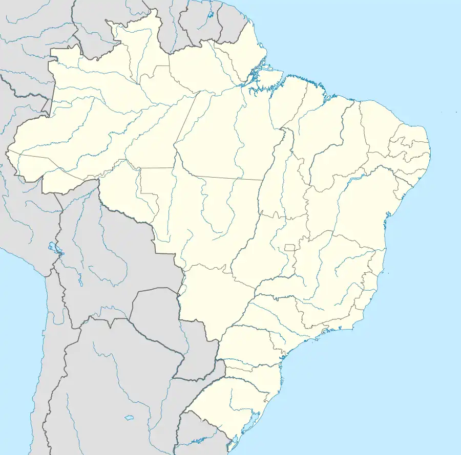 Rodrigues Alves, Acre Location in Brazil | |
| Coordinates: 07°44′31″S 72°38′49″W | |
| Country | |
| State | Acre |
| Government | |
| • Mayor | Sebastiāo Correia (PMDB) |
| Area | |
| • Total | 1,276 sq mi (3,305 km2) |
| Population (2020 est [1]) | |
| • Total | 19,351 |
| Time zone | UTC−5 (ACT) |
| Website | www |
Rodrigues Alves (Portuguese pronunciation: [ʁoˈdɾiɡiz ˈawvis]) is a municipality located in the west of the Brazilian state of Acre. Its population is 19,351 according to the 2020 estimates.

Conservation units in the west of the state of Acre, Brazil
The municipality contains 13.45% of the 846,633 hectares (2,092,080 acres) Serra do Divisor National Park, created in 1989.[2]
Population

References
- IBGE 2020
- PARNA da Serra do Divisor (in Portuguese), ISA: Instituto Socioambiental, retrieved 2016-08-08

This article is issued from Wikipedia. The text is licensed under Creative Commons - Attribution - Sharealike. Additional terms may apply for the media files.