Rumford, Falkirk
Rumford is a small village between Maddiston and Brightons in the Falkirk council area, of Scotland.
| Rumford | |
|---|---|
.jpg.webp) Nicolton Road, Rumford | |
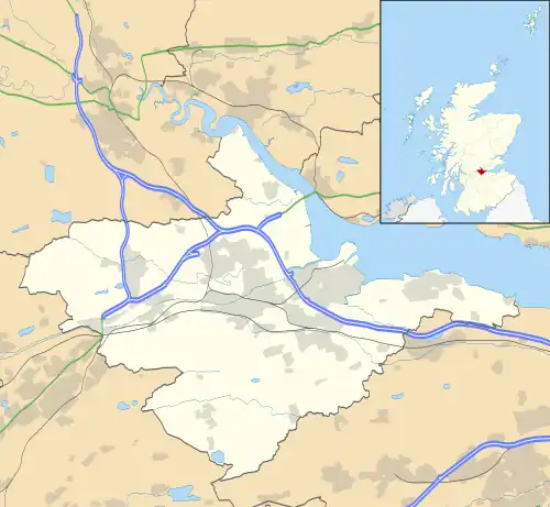 Rumford Location within the Falkirk council area | |
| Population | 810 (mid-2020 est.)[1] |
| OS grid reference | NS934771 |
| Civil parish |
|
| Council area | |
| Lieutenancy area | |
| Country | Scotland |
| Sovereign state | United Kingdom |
| Post town | FALKIRK |
| Postcode district | FK2 |
| Dialling code | 01324 |
| UK Parliament | |
| Scottish Parliament | |
| Website | falkirk.gov.uk |
The village went through a great deal of expansion in the late 1990s and early 2000s, resulting in the population increasing exponentially since the 1991 census, when it was recorded as around 275 residents.[2] In the 2001 and 2011 censuses, Falkirk Council reported the population as being 421[2] and 884 respectively.[3]
References
- "Mid-2020 Population Estimates for Settlements and Localities in Scotland". National Records of Scotland. 31 March 2022. Retrieved 31 March 2022.
- "Insight 2001 Census, No. 3 - 2001 Census population of wards and settlements" (PDF). Falkirk Council. Retrieved 18 January 2018.
- "Insight 2011 Census, No. 6 - Settlement Population and Household Estimates" (PDF). Falkirk Council. Retrieved 18 January 2018.
This article is issued from Wikipedia. The text is licensed under Creative Commons - Attribution - Sharealike. Additional terms may apply for the media files.