Saint-Germain-lès-Arpajon
Saint-Germain-lès-Arpajon (French pronunciation: [sɛ̃ ʒɛʁmɛ̃ lɛ.z‿aʁpaʒɔ̃] ⓘ, literally Saint-Germain near Arpajon) is a commune in the Essonne department. It is a suburb of Paris located 30 km (19 mi) south of Paris via the N20, and 20 km (12 mi) north of Étampes.
Saint-Germain-lès-Arpajon | |
|---|---|
 The town hall and church in Saint-Germain-lès-Arpajon | |
.svg.png.webp) Coat of arms | |
Location of Saint-Germain-lès-Arpajon | |
 Saint-Germain-lès-Arpajon 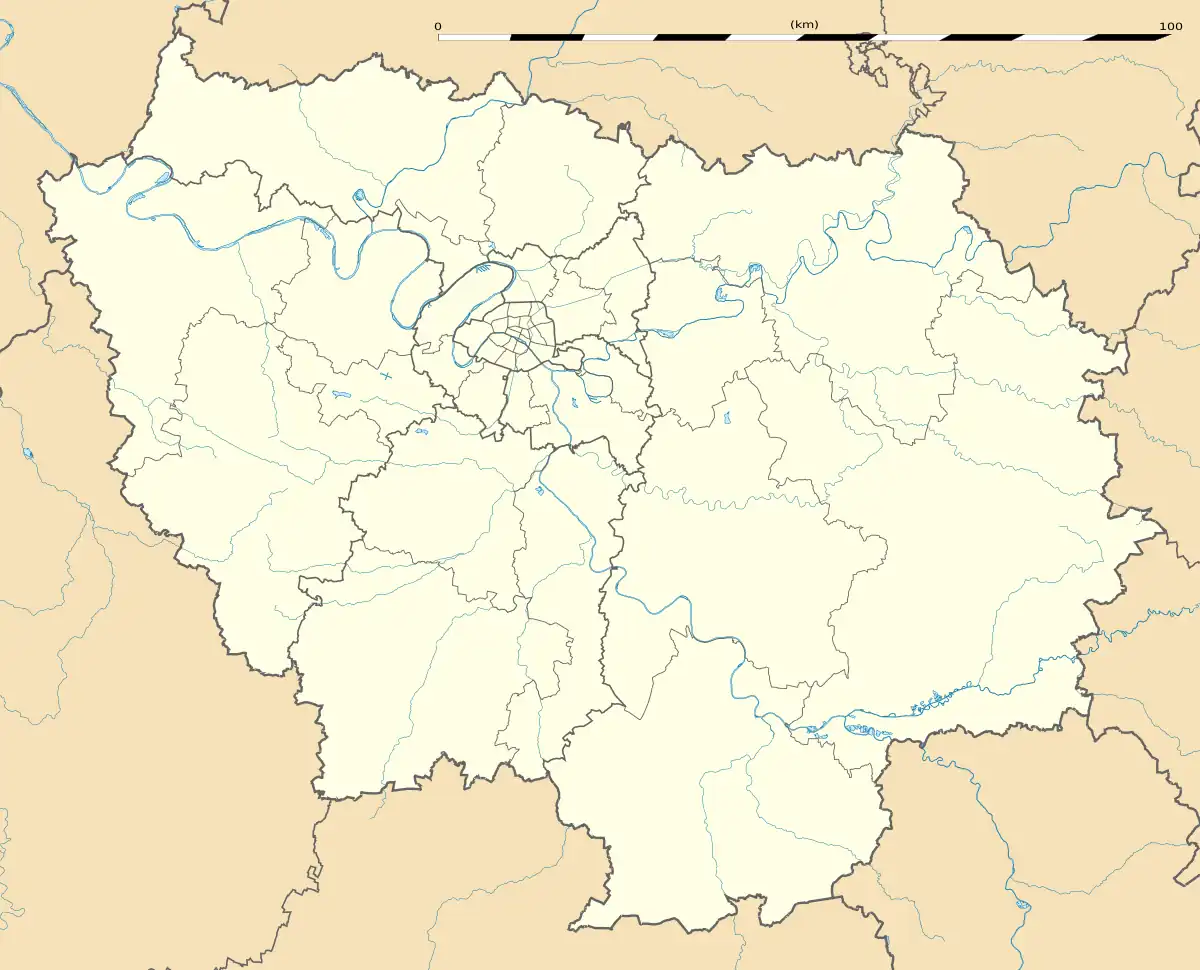 Saint-Germain-lès-Arpajon | |
| Coordinates: 48°35′41″N 2°15′21″E | |
| Country | France |
| Region | Île-de-France |
| Department | Essonne |
| Arrondissement | Palaiseau |
| Canton | Arpajon |
| Intercommunality | CA Cœur d'Essonne |
| Government | |
| • Mayor (2020–2026) | Norbert Santin[1] |
| Area 1 | 6.31 km2 (2.44 sq mi) |
| Population | 11,068 |
| • Density | 1,800/km2 (4,500/sq mi) |
| Time zone | UTC+01:00 (CET) |
| • Summer (DST) | UTC+02:00 (CEST) |
| INSEE/Postal code | 91552 /91180 |
| Elevation | 42–101 m (138–331 ft) (avg. 82 m or 269 ft) |
| 1 French Land Register data, which excludes lakes, ponds, glaciers > 1 km2 (0.386 sq mi or 247 acres) and river estuaries. | |
History
- Corbinian founded a religious community in the 7th century
- Up into the 13th century, Saint-Germain was a dependence of the châtellenie of Montlhéry
- In the 16th century, Saint-Germain was an estate of the lords of Granville
- In the 18th century, it was an estate of the lords of Noailles
- In 1720, the commune takes its current name following the acquisition of the commune of Châtres by Louis de Severac, Marquis d' Arpajon-sur-Cère (father of Anne d'Arpajon, comtesse de Noailles). It was previously called Saint-Germain-lès-Châtres).
Population
Its inhabitants are called Germinois.
| Year | Pop. | ±% p.a. |
|---|---|---|
| 1968 | 4,105 | — |
| 1975 | 5,949 | +5.44% |
| 1982 | 6,217 | +0.63% |
| 1990 | 7,607 | +2.55% |
| 1999 | 8,227 | +0.87% |
| 2007 | 9,146 | +1.33% |
| 2012 | 9,412 | +0.58% |
| 2017 | 10,707 | +2.61% |
| Source: INSEE[3] | ||
See also
References
- "Répertoire national des élus: les maires" (in French). data.gouv.fr, Plateforme ouverte des données publiques françaises. 13 September 2022.
- "Populations légales 2020". The National Institute of Statistics and Economic Studies. 29 December 2022.
- Population en historique depuis 1968, INSEE
External links
Wikimedia Commons has media related to Saint-Germain-lès-Arpajon.
- Official website (in French)
- Base Mérimée: Search for heritage in the commune, Ministère français de la Culture. (in French)
- Mayors of Essonne Association (in French)
This article is issued from Wikipedia. The text is licensed under Creative Commons - Attribution - Sharealike. Additional terms may apply for the media files.