Sampang Regency
Sampang Regency is a regency (Indonesian: kabupaten) of East Java province, Indonesia. It is situated on Madura Island, bordering on Pamekasan Regency to the east, the Java Sea to the north, Bangkalan Regency to the west and Madura Strait to the south. It covers an area of 1,233.3 km2, and had a population at the 2010 census of 877,772[2] and at the 2020 census of 969,694;[3] the official estimate as at mid 2022 was 984,162 - comprising 488,673 males and 495,489 females.[1] The administrative centre is the port of Sampang, on the south coast of Madura.
Sampang Regency
Kabupaten Sampang | |
|---|---|
 Banyuates Nepa Forest | |
 Coat of arms | |
| Motto: Sampang Hebat Bermartabat | |
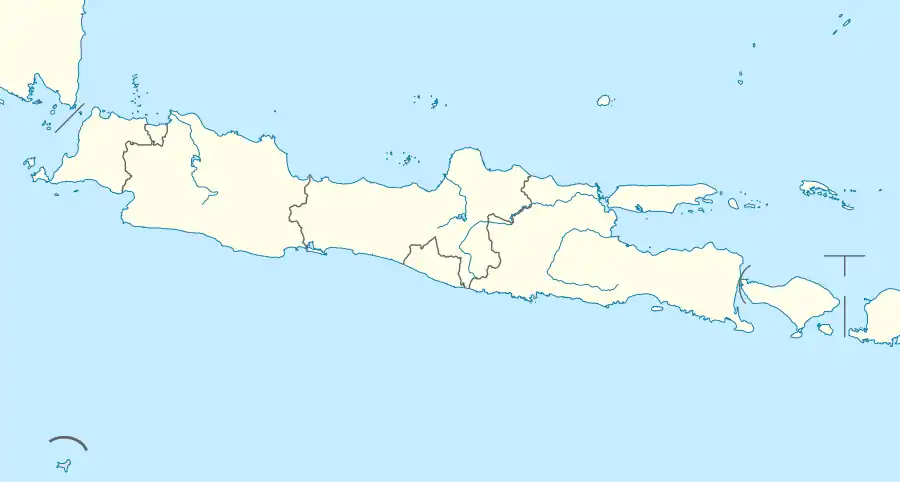
 Location within East Java | |
| Coordinates: 7.0500°S 113.2500°E | |
| Country | Indonesia |
| Province | East Java |
| Capital | Sampang |
| Government | |
| • Regent | H. Slamet Junaidi |
| • Vice Regent | H. Abdullah Hidayat |
| Area | |
| • Total | 1,233.3 km2 (476.2 sq mi) |
| Highest elevation | 1,244 m (4,081 ft) |
| Lowest elevation | 0 m (0 ft) |
| Population (mid 2022 estimate)[1] | |
| • Total | 984,162 |
| • Density | 800/km2 (2,100/sq mi) |
| Time zone | UTC+7 (IWST) |
| Area code | (+62) 323 |
| Website | sampangkab |

Administrative Districts
Sampang Regency consists of fourteen districts (Indonesian: kecamatan), tabulated below with their areas and their populations at the 2010 census[2] and the 2020 census,[3] together with the official estimates as at mid 2022.[1] The table also includes the locations of the district administrative centres, the number of administrative villages in each district (totaling 180 rural desa and 6 urban kelurahan - the latter all in Sampang District), and its post code.
| Name of District (kecamatan) | Area in km2 | Pop'n 2010 census | Pop'n 2020 census | Pop'n mid 2022 estimate | Admin centre | No. of villages | Post code |
|---|---|---|---|---|---|---|---|
| Sreseh | 71.95 | 28,613 | 32,869 | 33,588 | Labuhan | 12 | 69273 |
| Torjun | 44.19 | 36,282 | 40,153 | 40,736 | Torjun | 12 | 69270 |
| Pangarengan | 42.69 | 21,120 | 24,235 | 24,760 | Apaan | 6 | 69271 |
| Sampang(a) (town) | 70.01 | 114,983 | 124,390 | 125,643 | Tanggumong | 18 | 69212 -69216 |
| Camplong | 69.94 | 86,380 | 84,556 | 84,117 | Tambaan | 14 | 69281 |
| Omben | 116.31 | 77,204 | 86,800 | 88,330 | Rapa Laok | 20 | 69261 |
| Kedungdung | 123.08 | 86,622 | 96,049 | 97,481 | Moktesareh | 18 | 69252 |
| Jrengik | 65.35 | 31,657 | 36,656 | 37,516 | Kotah | 14 | 69272 |
| Tambelangan | 89.97 | 48,395 | 55,472 | 56,661 | Samaran | 10 | 69253 |
| Banyuates | 141.23 | 74,282 | 84,979 | 86,768 | Banyuates | 20 | 69263 |
| Robatal | 80.54 | 53,051 | 58,814 | 59,689 | Robatal | 9 | 69255 |
| Karang Penang | 84.25 | 66,639 | 80,944 | 83,613 | Karang Penang Onjur | 7 | 69254 |
| Ketapang | 125.28 | 88,252 | 89,616 | 89,416 | Ketapang Barat | 14 | 69261 |
| Sokobanah | 108.51 | 64,292 | 74,161 | 75,844 | Tamberuh Barat | 12 | 69262 |
| Totals | 1,233.30 | 877,772 | 969,694 | 984,162 | Sampang | 186 |
Note: (a) Sampang District includes the small island of Pulau Mandangin, off the south coast of Madura.
References
- Badan Pusat Statistik, Jakarta, 2023, Kabupaten Sampang Dalam Angka 2023 (Katalog-BPS 1102001.3527)
- Biro Pusat Statistik, Jakarta, 2011.
- Badan Pusat Statistik, Jakarta, 2021.
External links
![]() Media related to Sampang Regency at Wikimedia Commons
Media related to Sampang Regency at Wikimedia Commons
