Sand Point, Oklahoma
Sand Point is an unincorporated community and census-designated place (CDP) on Lake Texoma in Bryan County, Oklahoma, United States. It was first listed as a CDP prior to the 2020 census.[2]
Sand Point, Oklahoma | |
|---|---|
 Sand Point  Sand Point | |
| Coordinates: 33°57′53″N 96°33′48″W | |
| Country | United States |
| State | Oklahoma |
| County | Bryan |
| Area | |
| • Total | 1.28 sq mi (3.32 km2) |
| • Land | 0.93 sq mi (2.41 km2) |
| • Water | 0.35 sq mi (0.91 km2) |
| Elevation | 650 ft (200 m) |
| Population (2020) | |
| • Total | 251 |
| • Density | 270.18/sq mi (104.32/km2) |
| Time zone | UTC-6 (Central (CST)) |
| • Summer (DST) | UTC-5 (CDT) |
| ZIP Code | 73449 (Mead) |
| Area code | 580 |
| FIPS code | 40-65250 |
| GNIS feature ID | 2812845[2] |
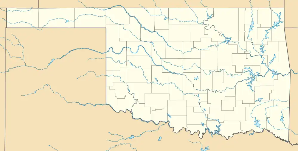
The CDP is in western Bryan County, on the east shore of the Washita River tributary arm of Lake Texoma, an impoundment on the Red River. It is 12 miles (19 km) west of Durant, the county seat.
References
- "ArcGIS REST Services Directory". United States Census Bureau. Retrieved September 20, 2022.
- "Sand Point Census Designated Place". Geographic Names Information System. United States Geological Survey, United States Department of the Interior.
- "Census of Population and Housing". Census.gov. Retrieved June 4, 2016.
Municipalities and communities of Bryan County, Oklahoma, United States | ||
|---|---|---|
| City | 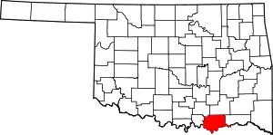 Bryan County map | |
| Towns | ||
| CDPs | ||
| Other communities | ||
| Ghost towns | ||
| Indian reservations | ||
| Footnotes | ‡This populated place also has portions in an adjacent county or counties | |
This article is issued from Wikipedia. The text is licensed under Creative Commons - Attribution - Sharealike. Additional terms may apply for the media files.